Old Maps of Lane Homestead, Wyoming for Metal Detecting
Plan your next treasure hunt with 10 historic maps of Lane Homestead. Find old homesites, ghost towns, trails, and gathering spots that may be lost to time — perfect for identifying promising metal detecting locations.
- Locate forgotten sites: Uncover places like long-lost settlements, abandoned rail lines, or gathering spots.
- Plan better hunts: Use map overlays combined with LiDAR or satellite views to narrow in on historically rich areas.
- Made for detectorists: Thousands of hobbyists use these maps to discover relics, coins, and hidden history.
Use these historic maps to boost your research and find new opportunities beneath the surface of Lane Homestead.
Lane Homestead, WY maps
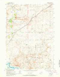
(10)- 1949 Map of Shawnee, 1958 Print
 1949 Shawnee1958 Print · USGSConverse County rangeland comes into focus in the late 1940s as the Missouri River Basin development project began. Genealogists can locate the local Cem near Shawnee or trace the early path of the Chicago and Northwestern railroad past Fisher.
 - 1950 Map of Shawnee
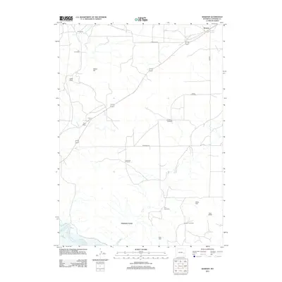
 1950 Shawnee1950 Print · USGSConverse County at the start of the 1950s shows a landscape organized by rail and river. Trace the development of small settlements like Shawnee and Fisher along the Chicago and Northwestern line near the North Platte River.
 - 1954 Map of Torrington, 1963 Print
 1954 Torrington1963 Print · USGSEastern Wyoming and the Nebraska borderlands are captured here during the mid-fifties, showing a landscape shaped by the Platte River and the Laramie Range. Researchers can trace deep history at the Fort Laramie National Historical Site, the Old Doty Ranch Site, and along the Old Fetterman Road.4 unique versions available
 - 1958 Map of Torrington
 1958 Torrington1958 Print · USGSEastern Wyoming and the Nebraska borderlands are captured in the late fifties, showcasing a landscape of high plains ranching and river-fed industry. Trace the historic paths of the Union Pacific railroad and find legacy sites like Fort Laramie and Sunrise.
 - 1961 Map of Shawnee, 1965 Print
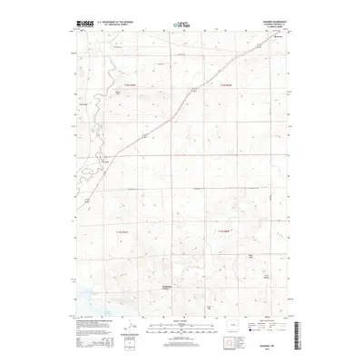
 1961 Shawnee1965 Print · USGSHigh plains ranching and rail history meet in Converse County during the early sixties. Genealogists and historians can locate numerous family sites like the May Homestead and Kornegay Homestead near the historic Emigrant Trail.
 - 1981 Map of Douglas
 1981 Douglas1981 Print · USGSThe North Platte River corridor in the early eighties shows a landscape shaped by energy and iron. Genealogists and industrial historians can trace rail-side settlements like Glenrock, explore the Big Muddy Oil Field, and locate the old siding at Fetterman.
 - 2012 Map of Shawnee, 2012 Print
 2012 Shawnee2012 Print · USGSCovers Lane Homestead, including Shawnee, Deadmans Corner, and other nearby areas
 - 2015 Map of Shawnee, 2015 Print
 2015 Shawnee2015 Print · USGSCovers Lane Homestead, including Shawnee, Deadmans Corner, and other nearby areas
 - 2017 Map of Shawnee, 2017 Print
 2017 Shawnee2017 Print · USGSCovers Lane Homestead, including Shawnee, Deadmans Corner, and other nearby areas
 - 2021 Map of Shawnee, 2021 Print
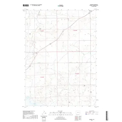
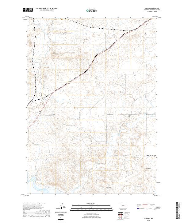 2021 Shawnee2021 Print · USGSIn the high plains of Converse County, this modern survey captures the rural landscape surrounding the settlement of Shawnee. Researchers can trace local topography and water rights near Glendo Reservoir, Twin Buttes, and the heights of Bobcat Hill.
End of results
Showing maps 1-10 of 10
Top cities near Lane Homestead
Frequently asked questions
- What are the different types of historical maps available for Lane Homestead?
- What is the oldest map of Lane Homestead?
- Where can I purchase historical maps of Lane Homestead for my home or office?
- Where can I download high-res historical maps of Lane Homestead?
- Are there historical topographic maps available for Lane Homestead?
- Is there historical aerial imagery available for Lane Homestead?
- Where are historical maps of Lane Homestead sourced from?