Old Maps of Boysen, Wyoming for Genealogy
Trace your family roots with 8 historic maps of Boysen. These high-res maps reveal old neighborhoods, homesites, landmarks, and streets — helping you uncover where your ancestors lived and how the area evolved over time.
- Explore historic neighborhoods: Identify where your relatives may have lived in the 1800s or 1900s.
- Compare maps over time: Trace the changes in streets, buildings, and landmarks for multi-generational research.
- Perfect for genealogy & ancestry research: Used by family historians and researchers to map out lineage and migration.
These maps are an incredible resource for exploring your personal connection to Boysen's past.
Boysen, WY maps
(8)- 1951 Map of Boysen, 1953 Print
 1951 Boysen1953 Print · USGSFremont County and the Wind River Canyon are captured here in the early fifties, just as major water projects were beginning to transform the landscape. Researchers can trace the original rail route of the Burlington and Quincy and locate local landmarks like Boysen Dam and Boysen Camp.3 unique versions available
 - 1955 Map of Thermopolis, 1969 Print
 1955 Thermopolis1969 Print · USGSMid-century Wyoming comes alive in this survey of the Wind River basin and the high Absaroka peaks. Trace the roots of oil and water development through the Hamilton Dome Oil Field and the Boysen Reservoir, or locate local landmarks like the Wyoming Industrial Institute and St. Stephens.2 unique versions available
 - 1958 Map of Thermopolis
 1958 Thermopolis1958 Print · USGSThe Bighorn Basin and Wind River Reservation are shown here in the late fifties, during a period of significant petroleum and agricultural growth. Genealogists and historians can trace rail-towns like Gebo, energy hubs like the Hamilton Dome Oil Field, and the layout of Fort Washakie.2 unique versions available
 - 1962 Map of Thermopolis
 1962 Thermopolis1962 Print · USGSThe Wind River and Bighorn basins are meticulously mapped in the early sixties, showing the vital irrigation and rail networks of the era. Genealogists and historians can locate specific landmarks like the Duncan Ranch School, the Wyoming Industrial Institute, and the Hamilton Dome oil field.
 - 2012 Map of Boysen, 2012 Print
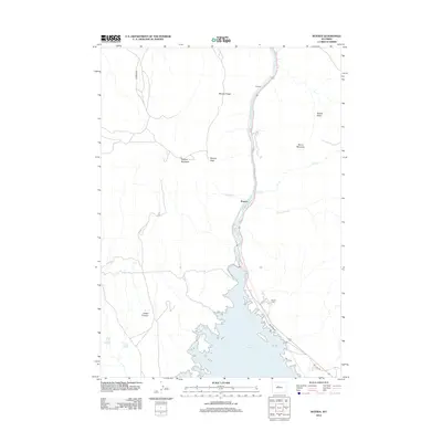 2012 Boysen2012 Print · USGSBoysen and the Wind River canyon are shown during the early twenty-first century as the reservoir dominates the local landscape. Researchers can trace the path of Old Hwy 20 or locate regional landmarks like Boysen Camp, Dornick, and Boysen Peak.
 - 2015 Map of Boysen, 2015 Print
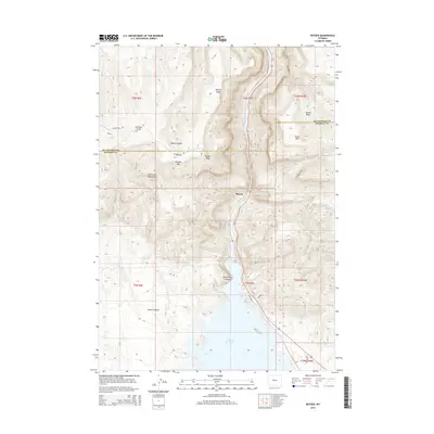 2015 Boysen2015 Print · USGSFremont and Hot Springs counties meet here among the peaks of the Owl Creek Mountains and the waters of the Boysen Reservoir. Modern topography allows you to trace the steep descent through Wind River Canyon and locate landmarks like Boysen Peak and Stagner Mtn.
 - 2017 Map of Boysen, 2017 Print
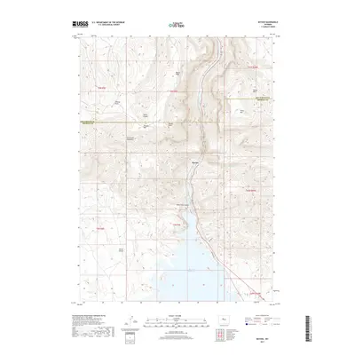 2017 Boysen2017 Print · USGSThe high desert landscape of central Wyoming is captured here in the late twenty-tens, centered on the dramatic junction of river and reservoir. Researchers can trace the rugged geography of the Owl Creek Mountains and find local landmarks such as Stagner Mtn and the Wind River Canyon.
 - 2021 Map of Boysen, 2021 Print
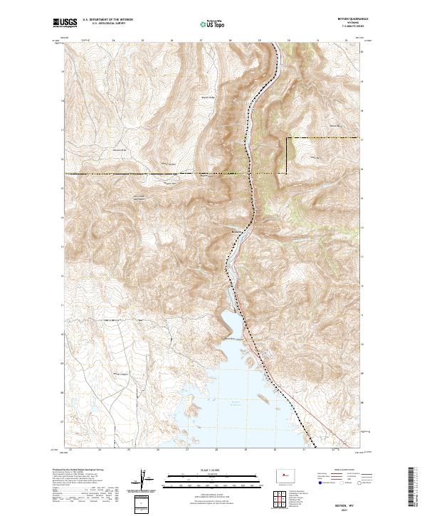 2021 Boysen2021 Print · USGSThe Owl Creek Mountains and the northern reaches of the reservoir define this Fremont County landscape in the 2020s. Trace the path of the Wind River through the Wind River Canyon and locate the settlement at Boysen near Boysen Peak.
End of results
Showing maps 1-8 of 8
Top cities near Boysen
Frequently asked questions
- What are the different types of historical maps available for Boysen?
- What is the oldest map of Boysen?
- Where can I purchase historical maps of Boysen for my home or office?
- Where can I download high-res historical maps of Boysen?
- Are there historical topographic maps available for Boysen?
- Is there historical aerial imagery available for Boysen?
- Where are historical maps of Boysen sourced from?