
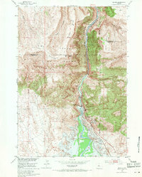
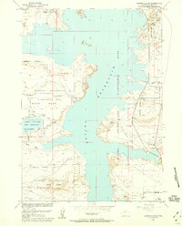
1951 Map of Boysen
USGS Topo · Published 1953About this map
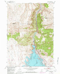
Boysen Dam stands as the central engineering landmark of this early 1950s survey, marking a significant transition for the canyon landscape of the Wind River. This edition documents the region just as the development of the Missouri River Basin began to reshape the area, including a noted blue hachured zone for the proposed reservoir. The terrain is dominated by the intersection of the Owl Creek Mountains and the Wind River Mountains, with high-elevation points like Boysen Peak and Stone Mountain flanking the river's narrow path.
Find a feature on this map
20 named features on this map. Tap any name to fly to it.
Don’t see what you’re looking for? This feature index may not catch every label — zoom into the map to look around manually.
Map Details
Editions of this 1951 Boysen Map
3 editions found
Other maps of this area

1950 · Bonneville SW
USGS Topo · 1:24,000

1951 · Mexican Pass SE
USGS Topo · 1:24,000

1951 · Birdseye Pass
USGS Topo · 1:24,000

1951 · Morrison Canyon
USGS Topo · 1:24,000

1951 · Bonneville
USGS Topo · 1:24,000

1955 · Thermopolis
USGS Topo · 1:250,000
1957 · Bonneville
USGS Topo · 1:24,000

1958 · Thermopolis
USGS Topo · 1:250,000
1958 · Mexican Pass SE
USGS Topo · 1:24,000
1958 · Bonneville SW
USGS Topo · 1:24,000