
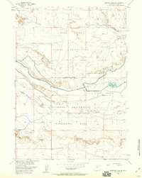
1951 Map of Morrison Canyon
USGS Topo · Published 1953About this map
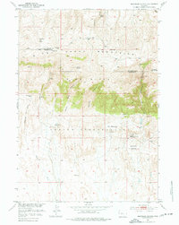
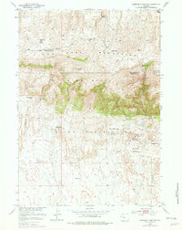
The Wind River Indian Reservation occupies the southern half of this mid-century survey, where the landscape transitions from the high peaks of the Owl Creek Mountains down into the broad flats of Gill Meadows. The map captures a high-desert ranching environment defined by remote water sources and rugged relief, notably the dramatic descent of the Wind River Canyon and Morrison Canyon. Human activity is sparse and concentrated around established outposts like the Bean Ranch and Burgess Ranch.
Find a feature on this map
24 named features on this map. Tap any name to fly to it.
Don’t see what you’re looking for? This feature index may not catch every label — zoom into the map to look around manually.
Map Details
Editions of this 1951 Morrison Canyon Map
3 editions found
Other maps of this area

1950 · Mexican Pass SW
USGS Topo · 1:24,000

1950 · Bonneville SW
USGS Topo · 1:24,000

1951 · Mexican Pass SE
USGS Topo · 1:24,000

1951 · Boysen
USGS Topo · 1:24,000

1951 · Mexican Pass
USGS Topo · 1:24,000

1955 · Thermopolis
USGS Topo · 1:250,000

1958 · Thermopolis
USGS Topo · 1:250,000
1958 · Mexican Pass SE
USGS Topo · 1:24,000
1958 · Bonneville SW
USGS Topo · 1:24,000
1958 · Mexican Pass SW
USGS Topo · 1:24,000