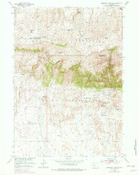
1951 Map of Morrison Canyon
USGS Topo · Published 1979About this map
The Owl Creek Mountains dominate this high-desert landscape on the border of Hot Springs and Fremont counties. This mid-century survey reveals the transitional terrain between the rugged peaks and the expansive lands of the Wind River Indian Reservation to the south. The topography is defined by sharp vertical drops into drainages like Wind River Canyon and Morrison Canyon, creating a complex network of ridges including Antelope Butte and Stagner Mountain.
Find a feature on this map
22 named features on this map. Tap any name to fly to it.
Don’t see what you’re looking for? This feature index may not catch every label — zoom into the map to look around manually.
Map Details
Editions of this 1951 Morrison Canyon Map
3 editions found
Other maps of this area

1950 · Mexican Pass SW
USGS Topo · 1:24,000

1950 · Bonneville SW
USGS Topo · 1:24,000

1951 · Mexican Pass SE
USGS Topo · 1:24,000

1951 · Boysen
USGS Topo · 1:24,000

1951 · Mexican Pass
USGS Topo · 1:24,000

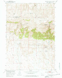
1951 · Morrison Canyon
USGS Topo · 1:24,000

1955 · Thermopolis
USGS Topo · 1:250,000

1958 · Thermopolis
USGS Topo · 1:250,000
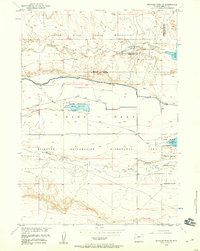
1958 · Mexican Pass SE
USGS Topo · 1:24,000
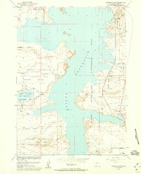
1958 · Bonneville SW
USGS Topo · 1:24,000