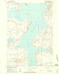
1958 Map of Bonneville SW
USGS Topo · Published 1959About this map
The Boysen Reservoir dominates this landscape, created by the Bureau of Reclamation as part of the Missouri River Basin development. Much of the surrounding terrain is defined by its jurisdictional status, notably the eastern reaches of the Wind River Indian Reservation and the extensive Riverton Reclamation Withdrawal Area. These administrative designations reflect the mid-century focus on water management and irrigation in central Wyoming, illustrated by the presence of the Wyoming Canal and the designated State Wildlife Management Area surrounding Lake Cameahwait.
Find a feature on this map
19 named features on this map. Tap any name to fly to it.
Don’t see what you’re looking for? This feature index may not catch every label — zoom into the map to look around manually.
Map Details
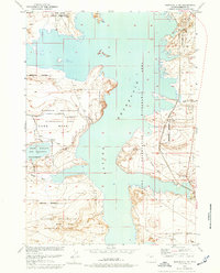
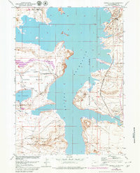
Editions of this 1958 Bonneville SW Map
3 editions found
Other maps of this area

1950 · Bonneville SW
USGS Topo · 1:24,000

1951 · Mexican Pass SE
USGS Topo · 1:24,000

1951 · Boysen
USGS Topo · 1:24,000

1951 · Birdseye Pass
USGS Topo · 1:24,000

1951 · Morrison Canyon
USGS Topo · 1:24,000

1951 · Hidden Valley
USGS Topo · 1:24,000

1951 · Bonneville
USGS Topo · 1:24,000

1951 · Shoshoni
USGS Topo · 1:24,000

1952 · Riverton NE
USGS Topo · 1:24,000

1955 · Thermopolis
USGS Topo · 1:250,000