
1951 Map of Birdseye Pass
USGS Topo · Published 1953About this map
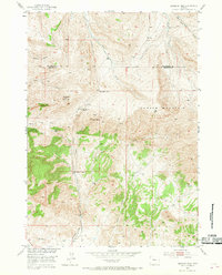
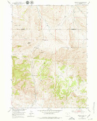
Owl Creek Mountains and Copper Mountain define this high-elevation landscape along the boundary of Hot Springs and Fremont counties. In the early 1950s, the area remained a hub for small-scale mineral extraction, with numerous gold mines and the specifically identified Gold Nugget Mine scattered across the slopes. The presence of the Birdseye Station (Abandoned) and a Quarry near Birdseye Creek suggests a period of transition, where former rail or transit points were giving way to more isolated ranching and mining operations.
Find a feature on this map
20 named features on this map. Tap any name to fly to it.
Don’t see what you’re looking for? This feature index may not catch every label — zoom into the map to look around manually.
Map Details
Editions of this 1951 Birdseye Pass Map
3 editions found
Other maps of this area

1950 · Bonneville SW
USGS Topo · 1:24,000

1951 · Boysen
USGS Topo · 1:24,000

1951 · Bonneville
USGS Topo · 1:24,000

1952 · Picard Ranch
USGS Topo · 1:24,000

1952 · Guffy Peak
USGS Topo · 1:24,000

1955 · Thermopolis
USGS Topo · 1:250,000

1955 · Arminto
USGS Topo · 1:250,000
1957 · Bonneville
USGS Topo · 1:24,000

1958 · Thermopolis
USGS Topo · 1:250,000

1958 · Arminto
USGS Topo · 1:250,000