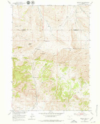
1951 Map of Birdseye Pass
USGS Topo · Published 1979About this map
Copper Mountain dominates the high ground of the Owl Creek range in this early 1950s record of the boundary between Hot Springs and Fremont Counties. The landscape is defined by its mining history and remote ranching outposts, linked by a long Telephone Line and primitive trails. The presence of Birdseye Station (Abandoned) and the Birdseye Ranch suggests a corridor that once supported more active transport through Birdseye Pass.
Find a feature on this map
21 named features on this map. Tap any name to fly to it.
Don’t see what you’re looking for? This feature index may not catch every label — zoom into the map to look around manually.
Map Details
Editions of this 1951 Birdseye Pass Map
3 editions found
Other maps of this area

1950 · Bonneville SW
USGS Topo · 1:24,000

1951 · Boysen
USGS Topo · 1:24,000

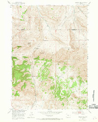
1951 · Birdseye Pass
USGS Topo · 1:24,000

1951 · Bonneville
USGS Topo · 1:24,000

1952 · Picard Ranch
USGS Topo · 1:24,000

1952 · Guffy Peak
USGS Topo · 1:24,000

1955 · Thermopolis
USGS Topo · 1:250,000

1955 · Arminto
USGS Topo · 1:250,000
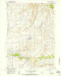
1957 · Bonneville
USGS Topo · 1:24,000

1958 · Thermopolis
USGS Topo · 1:250,000