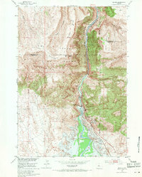
1951 Map of Boysen
USGS Topo · Published 1971About this map
The Wind River carves a deep path through the canyon between Boysen Ridge and Stone Mountain in this 1951 snapshot of Fremont County. This era captures a critical moment of development for the Missouri River Basin, documenting the landscape just before the completion of the Boysen Dam. Blue hachured lines indicate the proposed reservoir levels, showing how the rising waters would soon alter the geography of the Wind River Indian Reservation.
Find a feature on this map
24 named features on this map. Tap any name to fly to it.
Don’t see what you’re looking for? This feature index may not catch every label — zoom into the map to look around manually.
Map Details
Editions of this 1951 Boysen Map
3 editions found
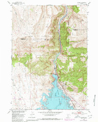
Other maps of this area

1950 · Bonneville SW
USGS Topo · 1:24,000

1951 · Mexican Pass SE
USGS Topo · 1:24,000

1951 · Boysen
USGS Topo · 1:24,000

1951 · Birdseye Pass
USGS Topo · 1:24,000

1951 · Morrison Canyon
USGS Topo · 1:24,000

1951 · Bonneville
USGS Topo · 1:24,000

1955 · Thermopolis
USGS Topo · 1:250,000
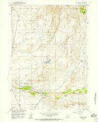
1957 · Bonneville
USGS Topo · 1:24,000

1958 · Thermopolis
USGS Topo · 1:250,000
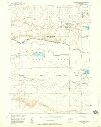
1958 · Mexican Pass SE
USGS Topo · 1:24,000