Old Maps of Auburn, Wyoming for Metal Detecting
Plan your next treasure hunt with 10 historic maps of Auburn. Find old homesites, ghost towns, trails, and gathering spots that may be lost to time — perfect for identifying promising metal detecting locations.
- Locate forgotten sites: Uncover places like long-lost settlements, abandoned rail lines, or gathering spots.
- Plan better hunts: Use map overlays combined with LiDAR or satellite views to narrow in on historically rich areas.
- Made for detectorists: Thousands of hobbyists use these maps to discover relics, coins, and hidden history.
Use these historic maps to boost your research and find new opportunities beneath the surface of Auburn.
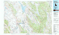
Auburn, WY maps
(10)- 1915 Map of Freedom
 1915 Freedom1915 Print · USGSThe Idaho-Wyoming border comes alive in this survey of the high mountain ranges and irrigated valleys during the early twentieth century. Researchers can trace the path of the Lander Cutoff and locate early community landmarks like the Freedom School or the Old Salt Works.3 unique versions available
 - 1955 Map of Preston, 1968 Print
 1955 Preston1968 Print · USGSSoutheast Idaho and western Wyoming are shown in detail during the mid-fifties, from the high Bear River Range to the Green River Basin. Genealogists and collectors can trace the Union Pacific RR through historic towns like Preston, Montpelier, and Afton.3 unique versions available
 - 1958 Map of Preston
 1958 Preston1958 Print · USGSThe high valleys of the Idaho and Wyoming borderlands are captured here in the late fifties, showcasing a landscape of mountain ranching and phosphate mining. Genealogists and historians can locate early settlements like Chesterfield and Bedford or trace the Union Pacific rail lines serving Cokeville.2 unique versions available
 - 1962 Map of Preston
 1962 Preston1962 Print · USGSSoutheast Idaho and the Wyoming borderlands are captured here in the early sixties, a time of thriving agricultural valleys and mountain ranching. Researchers can trace the Union Pacific rail lines and find legacy settlements like Montpelier, Afton, and Preston.
 - 1980 Map of Auburn
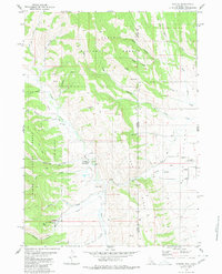 1980 Auburn1980 Print · USGSStar Valley and the Caribou National Forest meet at the Wyoming-Idaho border in this 1980 study. Local historians can trace the path of the historic Lander Cutoff and locate landmarks like the Stump Creek Guard Station and the Auburn Cem.
 - 1982 Map of Soda Springs
 1982 Soda Springs1982 Print · USGSSoutheast Idaho and the Wyoming borderlands come alive in the early eighties as a landscape of mountain ranges and industrial valleys. Genealogists and historians can locate remote family plots like Lund Cem or trace the early paths through Fivemile Meadows and the Fort Hall Indian Reservation.2 unique versions available
 - 2011 Map of Auburn, 2011 Print
 2011 Auburn2011 Print · USGSCovers Auburn, including Lincoln County, Caribou County, and other nearby areas
 - 2015 Map of Auburn, 2015 Print
 2015 Auburn2015 Print · USGSCovers Auburn, including Lincoln County, Caribou County, and other nearby areas
 - 2018 Map of Auburn, 2018 Print
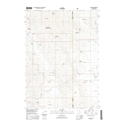
 2018 Auburn2018 Print · USGSCovers Auburn, including Lincoln County, Caribou County, and other nearby areas
 - 2021 Map of Auburn, 2021 Print
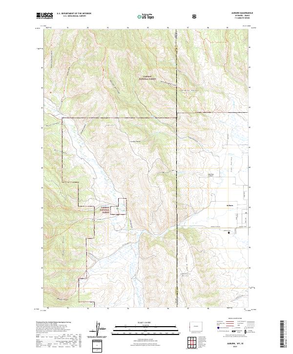 2021 Auburn2021 Print · USGSThe community of Auburn sits on the border of Wyoming and Idaho in the 2020s, bridging the gap between Star Valley and the peaks of the Caribou Range. Researchers can trace local landmarks like Auburn Cem, Tygee Ridge, and the Caribou National Forest.
End of results
Showing maps 1-10 of 10
Top cities near Auburn
Frequently asked questions
- What are the different types of historical maps available for Auburn?
- What is the oldest map of Auburn?
- Where can I purchase historical maps of Auburn for my home or office?
- Where can I download high-res historical maps of Auburn?
- Are there historical topographic maps available for Auburn?
- Is there historical aerial imagery available for Auburn?
- Where are historical maps of Auburn sourced from?