Old Maps of Fossil, Wyoming for Metal Detecting
Plan your next treasure hunt with 10 historic maps of Fossil. Find old homesites, ghost towns, trails, and gathering spots that may be lost to time — perfect for identifying promising metal detecting locations.
- Locate forgotten sites: Uncover places like long-lost settlements, abandoned rail lines, or gathering spots.
- Plan better hunts: Use map overlays combined with LiDAR or satellite views to narrow in on historically rich areas.
- Made for detectorists: Thousands of hobbyists use these maps to discover relics, coins, and hidden history.
Use these historic maps to boost your research and find new opportunities beneath the surface of Fossil.
Fossil, WY maps
(10)- 1954 Map of Ogden, 1967 Print
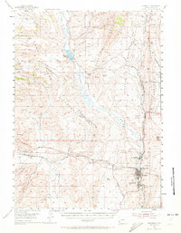
 1954 Ogden1967 Print · USGSThe northern Utah corridor and Wyoming borderlands are captured here in the mid-1950s, showing the region's transition from mountain wilderness to settled valleys. Researchers can trace historic institutions like Utah State University or locate vanished points like Church Butte Station and the Trappist Monastery.3 unique versions available
 - 1954 Map of Kemmerer, 1972 Print
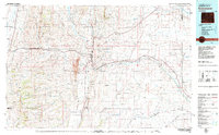
 1954 Kemmerer1972 Print · USGSLincoln County mining and transportation corridors come alive in the mid-1950s as coal operations and railroads reshape the high desert. Genealogists and historians can trace the Oregon Trail (Cutoff) alongside local coal heritage at Frontier and the Elkol Strip Mine.2 unique versions available
 - 1958 Map of Ogden
 1958 Ogden1958 Print · USGSNorthern Utah and southwestern Wyoming are captured here during a period of steady growth and military expansion. You can trace the Union Pacific rail lines and early road networks connecting Ogden and Logan to Bear Lake and Evanston.
 - 1960 Map of Ogden
 1960 Ogden1960 Print · USGSIn the mid-1950s, this region of the American West balanced military expansion with frontier history along the Union Pacific RR. Genealogists and historians can trace old settlements like Fort Bridger, the residential growth of Washington Terrace, and industrial sites from the Hill AFB complex to the coal mines of Kemmerer.
 - 1979 Map of Kemmerer, 1980 Print
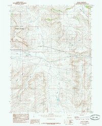
 1979 Kemmerer1980 Print · USGSLincoln County in the late seventies reveals an economy built on coal and rail between the ridges of the Overthrust Belt. Trace the industrial landscape from the Elkol Strip Mine to the historic Union Pacific line and Fossil Butte National Monument.2 unique versions available
 - 1985 Map of Fossil
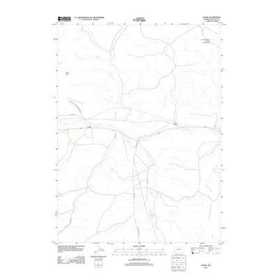
 1985 Fossil1985 Print · USGSLincoln County’s high-desert landscape is captured here in the mid-1980s, centered on the ancient geology and transport routes near the Fossil Butte National Monument. Researchers can trace the original path of the Old R.R. Grade near Fossil and the complex drainage of the Hams Fork Plateau.
 - 2012 Map of Fossil, 2012 Print
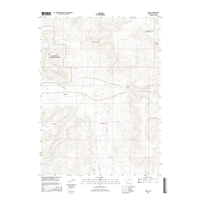
 2012 Fossil2012 Print · USGSCovers Fossil, including Lincoln County, United States, and other nearby areas
 - 2015 Map of Fossil, 2015 Print
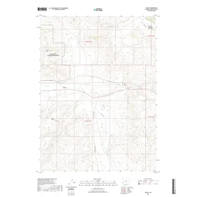
 2015 Fossil2015 Print · USGSCovers Fossil, including Lincoln County, United States, and other nearby areas
 - 2017 Map of Fossil, 2017 Print
 2017 Fossil2017 Print · USGSCovers Fossil, including Lincoln County, United States, and other nearby areas
 - 2021 Map of Fossil, 2021 Print
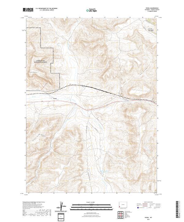 2021 Fossil2021 Print · USGSModern Wyoming ranchlands and ancient fossil beds meet in this contemporary survey of Lincoln County. Researchers can trace the Historic Quarry Trl near the settlement of Fossil or locate landmarks like the C H Smith Reservoir.
End of results
Showing maps 1-10 of 10
Top cities near Fossil
Frequently asked questions
- What are the different types of historical maps available for Fossil?
- What is the oldest map of Fossil?
- Where can I purchase historical maps of Fossil for my home or office?
- Where can I download high-res historical maps of Fossil?
- Are there historical topographic maps available for Fossil?
- Is there historical aerial imagery available for Fossil?
- Where are historical maps of Fossil sourced from?