Old Maps of Cody, Wyoming for Academic Research
Study the evolution of Cody with 12 high-resolution historic maps. Whether you're teaching, researching, or modeling changes in land use, these maps provide essential visual documentation of urban, environmental, and geographic change.
- Analyze long-term change: Track patterns in development, transportation, and natural features.
- Ideal for environmental or urban studies: Support academic projects with primary historical map data.
- Use in the classroom or lab: Educators and researchers rely on these maps to bring historical context to life.
These maps are a powerful tool for teaching, research, and visualizing how Cody has changed over the decades.
Cody, WY maps
(12)- 1949 Map of Cody, 1962 Print
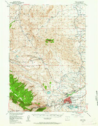 1949 Cody1962 Print · USGSCody and the surrounding Park County landscape are documented here during the mid-twentieth century, showcasing a transition from mountain wilderness to irrigated ranchland. Researchers can locate numerous family estates like the Two Dot Ranch and significant infrastructure such as the Buffalo Bill Dam and Spirit Mountain Caverns.2 unique versions available
 - 1951 Map of Cody
 1951 Cody1951 Print · USGSCody and the surrounding Park County ranchlands are shown in the early fifties, a time when irrigation projects and resource extraction were shaping the basin. Genealogists and local historians can trace legacy properties like Stafford Ranch and Lundvall Ranch, or locate the Riverside Cemetery and Buffalo Bill Dam.
 - 1955 Map of Cody, 1969 Print
 1955 Cody1969 Print · USGSThe Bighorn Basin and Absaroka Range meet in the mid-fifties, capturing a landscape defined by mountain wilderness and burgeoning oil fields. Trace family roots in Cody or Meeteetse, and locate industrial landmarks like the Elk Basin Oil and Gas Field and the Chicago Burlington and Quincy RR.2 unique versions available
 - 1957 Map of Devils Tooth, 1959 Print
 1957 Devils Tooth1959 Print · USGSHigh-country ranching meets industrial growth in Park County during the late fifties. Genealogists and researchers can trace the historic Diamond Bar Ranch, Hoodoo Ranch, and Spring Creek Oil Field among the peaks of the Shoshone National Forest.4 unique versions available
 - 1958 Map of Cody
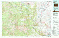
 1958 Cody1958 Print · USGSNorthwestern Wyoming at the peak of the mid-century energy and ranching boom shows a land of high peaks and oil basins. Researchers can trace the Chicago Burlington and Quincy rail lines through Greybull or locate the sprawling Elk Basin Oil and Gas Field.
 - 1962 Map of Cody
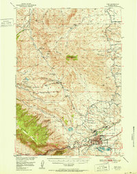
 1962 Cody1962 Print · USGSBig Horn Basin energy and agriculture define this mid-century look at Wyoming’s northern frontier. Local historians can trace the irrigation and rail networks connecting Cody and Powell to major energy sites like the Oregon Basin Oil Field.
 - 1980 Map of Carter Mountain, 1982 Print
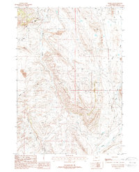
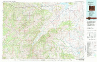 1980 Carter Mountain1982 Print · USGSPark County at the dawn of the 1980s reveals a high-country landscape where mountain wilderness meets energy extraction. Researchers can locate remote outposts like Irma, trace the Greybull River valley, and identify the footprint of the Pitchfork Oil Field or Sunshine Reservoir.3 unique versions available
 - 1980 Map of Cody, 1982 Print
 1980 Cody1982 Print · USGSThe Cody region in the early 1980s reveals a rugged wilderness of the Shoshone National Forest meeting the plains. Researchers can trace the Burlington Northern rail line and locate landmarks like Painter Mine and Buffalo Bill Reservoir.3 unique versions available
 - 1987 Map of Cody
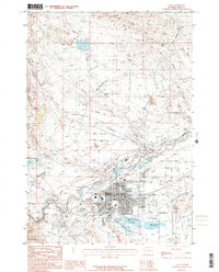 1987 Cody1987 Print · USGSCody and the Shoshone River valley are captured here in the late eighties during a period of steady municipal and industrial expansion. Researchers can trace the extensive irrigation systems of the Heart Mountain Canal and find local landmarks like De Maris Springs and the Drive-in Theater.
 - 1987 Map of Indian Pass, 1988 Print
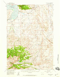
 1987 Indian Pass1988 Print · USGSPark County, Wyoming, is shown here during the late 1980s, revealing an area where industrial energy production meets extensive irrigation systems. Researchers can trace the layout of the Half Moon Oil Field, the course of the Cody Canal, and the footprint of the Open Pit Mine.
 - 2021 Map of Indian Pass, 2021 Print
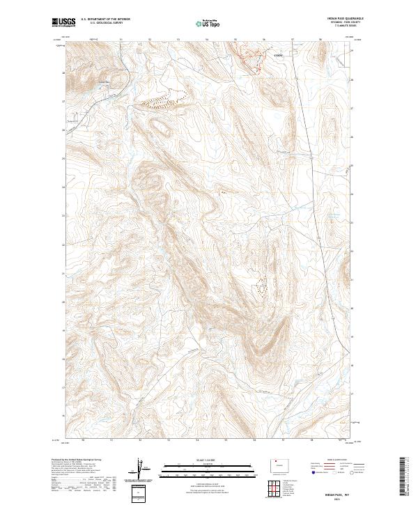 2021 Indian Pass2021 Print · USGSThe ranchlands and irrigation networks south of Cody come into focus in the early twenty-first century. Researchers can trace the path of the Cody Canal and Indian Pass Lateral, or locate local landmarks like Cedar Ridge Reservoir and Hoo Doo Ranch Rd.
 - 2021 Map of Cody, 2021 Print
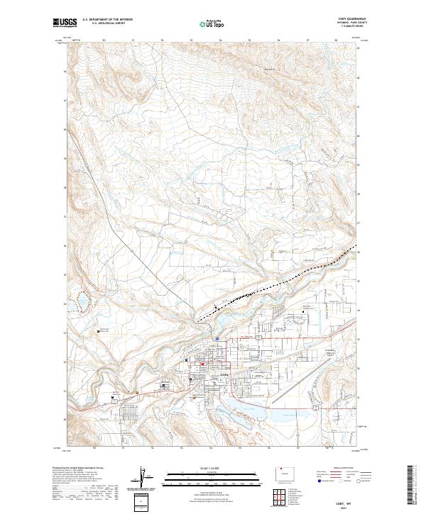 2021 Cody2021 Print · USGSThe city of Cody and the Shoshone River valley are documented here in the modern era. Researchers can locate local landmarks like the Park County Courthouse, Old Trail Town Cem, and the Yellowstone Regional Airport.
End of results
Showing maps 1-12 of 12
Frequently asked questions
- What are the different types of historical maps available for Cody?
- What is the oldest map of Cody?
- Where can I purchase historical maps of Cody for my home or office?
- Where can I download high-res historical maps of Cody?
- Are there historical topographic maps available for Cody?
- Is there historical aerial imagery available for Cody?
- Where are historical maps of Cody sourced from?