Old Maps of Kirwin, Wyoming for Academic Research
Study the evolution of Kirwin with 12 high-resolution historic maps. Whether you're teaching, researching, or modeling changes in land use, these maps provide essential visual documentation of urban, environmental, and geographic change.
- Analyze long-term change: Track patterns in development, transportation, and natural features.
- Ideal for environmental or urban studies: Support academic projects with primary historical map data.
- Use in the classroom or lab: Educators and researchers rely on these maps to bring historical context to life.
These maps are a powerful tool for teaching, research, and visualizing how Kirwin has changed over the decades.
Kirwin, WY maps
(12)- 1904 Map of Kirwin, 1957 Print
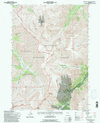
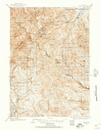 1904 Kirwin1957 Print · USGSHigh-country mining and ranching define this region of the Absaroka Range at the turn of the century. Genealogists can trace family holdings like Double Diamond Ranch and Antler Ranch, or the high-altitude mining outpost at Kirwin.
 - 1906 Map of Kirwin
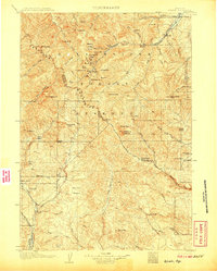 1906 Kirwin1906 Print · USGSThe Absaroka Mountains and upper Wind River country are shown here in the early nineteen-hundreds during a period of active prospecting. Researchers can find old mining sites like the Gold Reef Tunnel and remote ranching hubs such as Kirwin and the Double Diamond Ranch.2 unique versions available
 - 1955 Map of Thermopolis, 1969 Print
 1955 Thermopolis1969 Print · USGSMid-century Wyoming comes alive in this survey of the Wind River basin and the high Absaroka peaks. Trace the roots of oil and water development through the Hamilton Dome Oil Field and the Boysen Reservoir, or locate local landmarks like the Wyoming Industrial Institute and St. Stephens.2 unique versions available
 - 1958 Map of Thermopolis
 1958 Thermopolis1958 Print · USGSThe Bighorn Basin and Wind River Reservation are shown here in the late fifties, during a period of significant petroleum and agricultural growth. Genealogists and historians can trace rail-towns like Gebo, energy hubs like the Hamilton Dome Oil Field, and the layout of Fort Washakie.2 unique versions available
 - 1962 Map of Thermopolis
 1962 Thermopolis1962 Print · USGSThe Wind River and Bighorn basins are meticulously mapped in the early sixties, showing the vital irrigation and rail networks of the era. Genealogists and historians can locate specific landmarks like the Duncan Ranch School, the Wyoming Industrial Institute, and the Hamilton Dome oil field.
 - 1969 Map of Francs Peak, 1971 Print
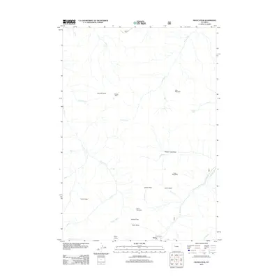
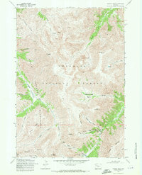 1969 Francs Peak1971 Print · USGSThe high Absaroka Range is captured here during the late sixties, centered on the remote mining outpost of Kirwin. Researchers can trace early industrial footprints through features like the Gold Reef Tunnel, Anaconda Mine, and Wolf Shaft.2 unique versions available
 - 1978 Map of The Ramshorn, 1979 Print
 1978 The Ramshorn1979 Print · USGSHigh Wyoming mountain country during the late seventies centers on the junction at Dubois, where the Wind River carves through the landscape. Researchers can trace the high-country drainages of the Yellowstone River or locate remote landmarks like Kirwin and Brooks Lake.2 unique versions available
 - 1991 Map of Francs Peak, 1995 Print
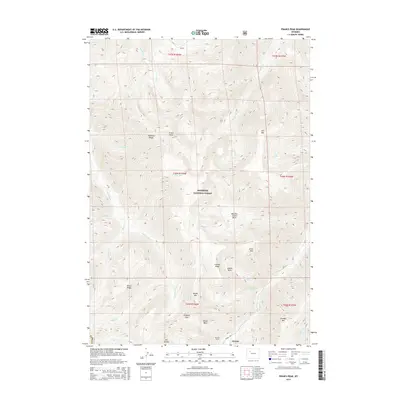
 1991 Francs Peak1995 Print · USGSMining activity in the Absaroka Range is captured here during the early nineties, centered on the high-elevation camp at Kirwin. Trace historical operations at the Gold Reef Tunnel, Anaconda Mine, and Muncie Tunnel.2 unique versions available
 - 2012 Map of Francs Peak, 2012 Print
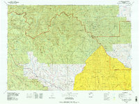
 2012 Francs Peak2012 Print · USGSCovers Kirwin, including Fremont County, Park County, and other nearby areas
 - 2015 Map of Francs Peak, 2015 Print
 2015 Francs Peak2015 Print · USGSCovers Kirwin, including Fremont County, Park County, and other nearby areas
 - 2017 Map of Francs Peak, 2017 Print
 2017 Francs Peak2017 Print · USGSCovers Kirwin, including Fremont County, Park County, and other nearby areas
 - 2021 Map of Francs Peak, 2021 Print
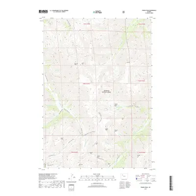
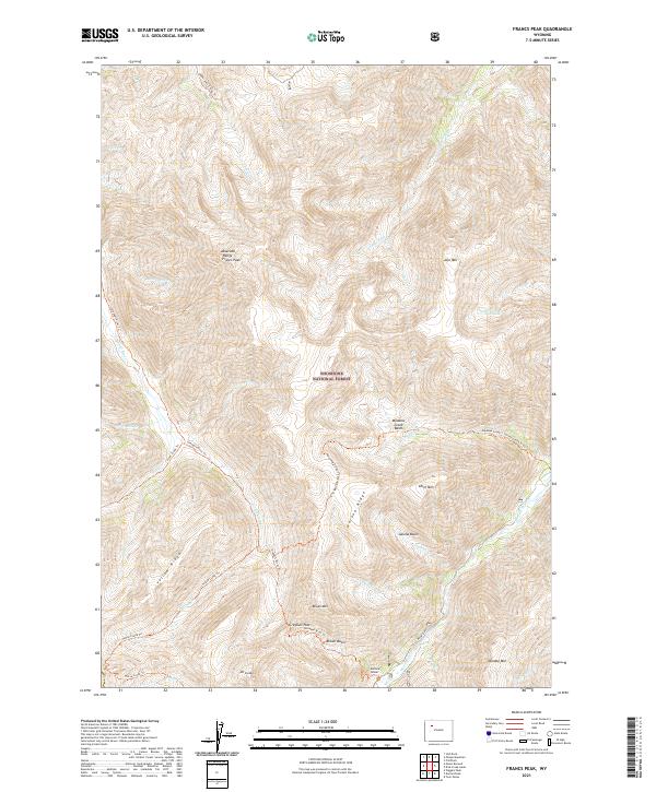 2021 Francs Peak2021 Print · USGSHigh in the Absaroka Range during the early twenty-first century, this alpine landscape remains defined by its wilderness character. Track historic pack routes like the Greybull River Trl or locate high-altitude landmarks like Francs Peak and the Mattice Tunnel.
End of results
Showing maps 1-12 of 12
Frequently asked questions
- What are the different types of historical maps available for Kirwin?
- What is the oldest map of Kirwin?
- Where can I purchase historical maps of Kirwin for my home or office?
- Where can I download high-res historical maps of Kirwin?
- Are there historical topographic maps available for Kirwin?
- Is there historical aerial imagery available for Kirwin?
- Where are historical maps of Kirwin sourced from?