2020s Maps of Chugwater, Wyoming
Explore 2 historic maps of Chugwater from the 2020s. These maps offer a rare glimpse into what life looked like during the 2020s — showing old roads, neighborhoods, homes, and landmarks that have changed or disappeared over time.
Whether you're researching your family's past, planning a metal detecting trip, or studying how Chugwater's landscape evolved across the 2020s, these high-resolution maps are a powerful tool for exploring the history of this region.
- Focus on a specific era: All maps on this page are from the 2020s, giving you a focused view of this time period.
- See what’s changed: Compare century-old streets, trails, and buildings to today's modern landscape using overlays and satellite layers.
- Research with precision: Use these maps for genealogy, historical research, land use analysis, or educational projects.
- View, download, or print: Maps are fully viewable online in high resolution, and can be downloaded or printed for your own records.
Start exploring Chugwater's history through authentic maps from the 2020s. This is your window into the past.
Chugwater, WY maps
(2)- 2021 Map of Chugwater, 2021 Print
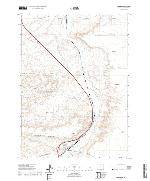 2021 Chugwater2021 Print · USGSThe high plains of Platte County are shown here in the 2020s, centered on the historic town of Chugwater along its namesake creek. You can trace local landmarks like Chimney Rock, find old water rights along Home Ditch, and locate early routes like Old Hwy 87.
 - 2021 Map of Bristol Ridge NE, 2021 Print
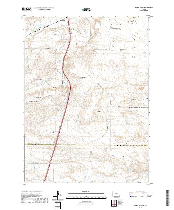 2021 Bristol Ridge NE2021 Print · USGSSoutheastern Wyoming's high plains are documented here in the early twenty-first century, centered on the open landscape of Chugwater Flats. Researchers can trace old ranch routes like Iron Mountain Rd and Happy Hollow Rd as they converge near the drainage of Chugwater Cr.
End of results
Showing maps 1-2 of 2
Frequently asked questions
- What are the different types of historical maps available for Chugwater?
- What is the oldest map of Chugwater?
- Where can I purchase historical maps of Chugwater for my home or office?
- Where can I download high-res historical maps of Chugwater?
- Are there historical topographic maps available for Chugwater?
- Is there historical aerial imagery available for Chugwater?
- Where are historical maps of Chugwater sourced from?