Old Maps of Chugwater, Wyoming for Metal Detecting
Plan your next treasure hunt with 14 historic maps of Chugwater. Find old homesites, ghost towns, trails, and gathering spots that may be lost to time — perfect for identifying promising metal detecting locations.
- Locate forgotten sites: Uncover places like long-lost settlements, abandoned rail lines, or gathering spots.
- Plan better hunts: Use map overlays combined with LiDAR or satellite views to narrow in on historically rich areas.
- Made for detectorists: Thousands of hobbyists use these maps to discover relics, coins, and hidden history.
Use these historic maps to boost your research and find new opportunities beneath the surface of Chugwater.
Chugwater, WY maps
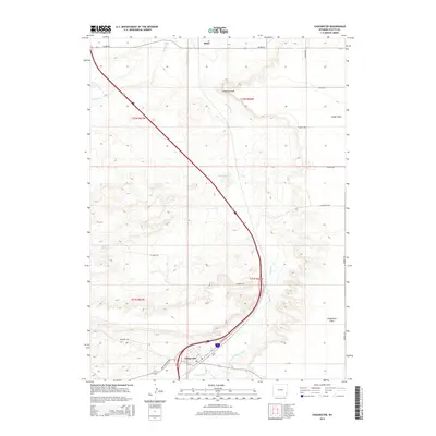
(14)- 1953 Map of Chugwater, 1954 Print
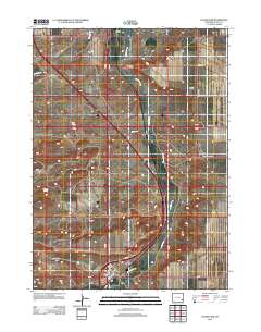
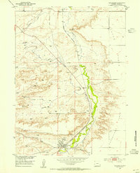 1953 Chugwater1954 Print · USGSThe Chugwater valley in the early fifties was a hub of rail activity and high-plains ranching as part of the Missouri River Basin development. Researchers can locate the Grain Elevators in Chugwater, the route of the Colorado and Southern railroad, and landmarks like Chimney Rock.2 unique versions available
 - 1954 Map of Cheyenne, 1963 Print
 1954 Cheyenne1963 Print · USGSSoutheastern Wyoming's high plains and the capital city's mid-century expansion are documented here during the early Cold War. Genealogists and historians can trace rail-aligned settlements like Pine Bluffs and Hillsdale, or explore landmarks like the Ames Monument and Francis E. Warren Air Force Base.3 unique versions available
 - 1958 Map of Cheyenne
 1958 Cheyenne1958 Print · USGSSoutheast Wyoming and the Nebraska border appear in the late 1950s as a hub of military defense and rail commerce. Genealogists can trace the Union Pacific through Cheyenne or locate the Horse Creek Oil Field and the State Capitol.2 unique versions available
 - 1962 Map of Bristol Ridge NE, 1965 Print
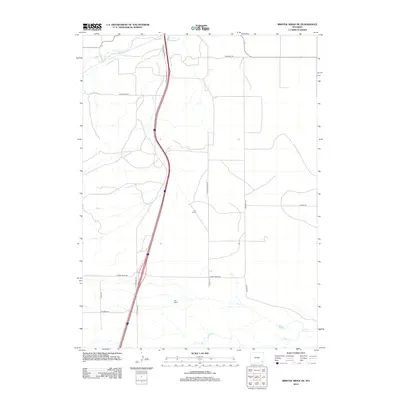
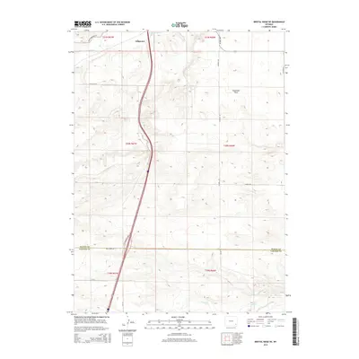
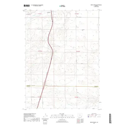
 1962 Bristol Ridge NE1965 Print · USGSThe high plains of Wyoming are captured here in the early sixties, illustrating the critical transportation corridor between Platte and Laramie counties. Researchers can trace the Colorado and Southern railroad, find family landmarks near Bristol Ridge, and locate natural features like Mud Spring.2 unique versions available
 - 1990 Map of Chugwater, 1995 Print
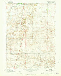
 1990 Chugwater1995 Print · USGSSoutheastern Wyoming's high plains landscape comes into focus here during the late twentieth century. Researchers can trace the agricultural heart of Chugwater through its Grain Elevators or locate old settlements like Slater and Lathrum.
 - 1990 Map of Bristol Ridge NE, 1995 Print
 1990 Bristol Ridge NE1995 Print · USGSThe high plains of Platte and Laramie counties are captured here in the early nineties, showcasing the intersection of ranching land and industrial infrastructure. Researchers can trace the rugged topography from Bristol Ridge down to Chugwater Creek and locate several Oil Well sites.
 - 2012 Map of Bristol Ridge NE, 2012 Print
 2012 Bristol Ridge NE2012 Print · USGSCovers Chugwater, including Laramie County, Platte County, and other nearby areas
 - 2012 Map of Chugwater, 2012 Print
 2012 Chugwater2012 Print · USGSCovers Chugwater, including Slater, Platte County, and other nearby areas
 - 2015 Map of Chugwater, 2015 Print
 2015 Chugwater2015 Print · USGSCovers Chugwater, including Slater, Platte County, and other nearby areas
 - 2015 Map of Bristol Ridge NE, 2015 Print
 2015 Bristol Ridge NE2015 Print · USGSCovers Chugwater, including Laramie County, Platte County, and other nearby areas
 - 2017 Map of Bristol Ridge NE, 2017 Print
 2017 Bristol Ridge NE2017 Print · USGSCovers Chugwater, including Laramie County, Platte County, and other nearby areas
 - 2017 Map of Chugwater, 2017 Print
 2017 Chugwater2017 Print · USGSCovers Chugwater, including Slater, Platte County, and other nearby areas
 - 2021 Map of Chugwater, 2021 Print
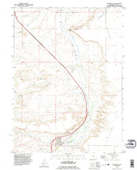
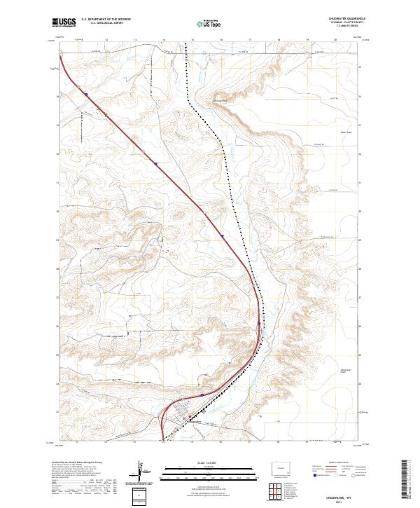 2021 Chugwater2021 Print · USGSThe high plains of Platte County are shown here in the 2020s, centered on the historic town of Chugwater along its namesake creek. You can trace local landmarks like Chimney Rock, find old water rights along Home Ditch, and locate early routes like Old Hwy 87.
 - 2021 Map of Bristol Ridge NE, 2021 Print
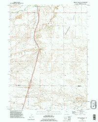
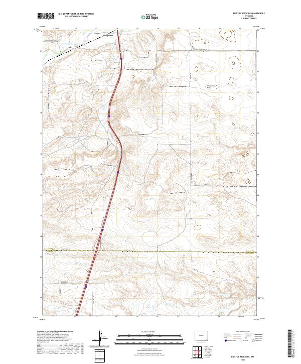 2021 Bristol Ridge NE2021 Print · USGSSoutheastern Wyoming's high plains are documented here in the early twenty-first century, centered on the open landscape of Chugwater Flats. Researchers can trace old ranch routes like Iron Mountain Rd and Happy Hollow Rd as they converge near the drainage of Chugwater Cr.
End of results
Showing maps 1-14 of 14
Frequently asked questions
- What are the different types of historical maps available for Chugwater?
- What is the oldest map of Chugwater?
- Where can I purchase historical maps of Chugwater for my home or office?
- Where can I download high-res historical maps of Chugwater?
- Are there historical topographic maps available for Chugwater?
- Is there historical aerial imagery available for Chugwater?
- Where are historical maps of Chugwater sourced from?