Old Maps of Wolf, Wyoming for Hiking & Exploration
Hike through history with 13 historic maps of Wolf. Explore old trails, ghost towns, and forgotten backroads — perfect for outdoor adventurers and local explorers.
- Rediscover forgotten places: Map out old mining camps, roads, and footpaths that no longer exist on modern maps.
- Layer with modern tools: Combine with LiDAR or satellite views to plan hikes through historical terrain.
- Made for exploration: Popular among hikers, overlanders, and local history lovers.
Use these maps to find adventure and explore the hidden past of Wolf.
Wolf, WY maps
(13)- 1895 Map of Dayton
 1895 Dayton1895 Print · USGSSheridan County and the Bighorn foothills are captured here in the late nineteenth century as ranching and transit began to define the region. Genealogists and researchers can trace the early road networks connecting Dayton, Ohlman, and the ranching hub at Beckton.
 - 1901 Map of Dayton
 1901 Dayton1901 Print · USGSSheridan County and the Montana borderlands are captured here at the turn of the century as the railroad reshapes the valley. Researchers can trace early settlements and ranching outposts like Slack, Beckton, and the Morrow Ranch along the Tongue River.5 unique versions available
 - 1955 Map of Sheridan, 1973 Print
 1955 Sheridan1973 Print · USGSThe Bighorn Mountains meet the Powder River Basin in the 1950s, a period when cattle ranching and coal mining defined the regional economy. Genealogists and historians can trace local landmarks like the Fort Mackenzie Veteran Hospital, the Monarch Coal Mine, and legacy operations such as the Beckton Stock Farm.2 unique versions available
 - 1958 Map of Sheridan
 1958 Sheridan1958 Print · USGSThe Bighorn Mountains meet the high plains in the mid-1950s, revealing a landscape of large-scale ranching and mineral extraction. Trace the legacy of early settlements and industry through the Kleenburn Coal Tipple, Beckton Stock Farm, and the Hidden Dome Oil & Gas Field.2 unique versions available
 - 1962 Map of Sheridan
 1962 Sheridan1962 Print · USGSThe Big Horn Mountains and Powder River country are captured here in the early sixties as energy production and ranching shaped northern Wyoming. Researchers can locate specific sites like the Kleenburn Coal Tipple, Eaton Bros Ranch, and the Fort McKenzie Veteran Hospital.
 - 1964 Map of Wolf, 1967 Print
 1964 Wolf1967 Print · USGSSheridan County ranching and the mountain front are captured here in the mid-1960s. Genealogists and local historians can trace family-named sites like P K Ranch, the Wolf Creek Sch, and the high forest boundary at Windy Canyon.
 - 1970 Map of Burgess Junction, 1979 Print
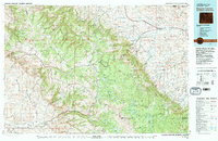 1970 Burgess Junction1979 Print · USGSThe Bighorn Mountains meet the Tongue River valley in the late 1970s, showcasing a landscape of high-altitude forest and foothill settlements. Genealogists and historians can trace the rail towns of Monarch and Ranchester or locate old mountain landmarks like Steamboat Point and Burgess Junction.
 - 1979 Map of Burgess Junction
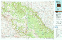 1979 Burgess Junction1979 Print · USGSSheridan County and the Bighorn front are captured in the late seventies as the region balanced mountain wilderness with industrial growth. Local researchers can trace early transportation routes like the Burlington Northern rail line and locate old sites at Kleeburn and Monarch.
 - 1993 Map of Wolf, 1997 Print
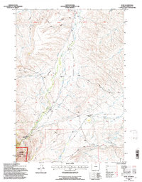 1993 Wolf1997 Print · USGSSheridan County ranching and forest lands are captured in the early nineties, showing a landscape defined by irrigation and mountain trails. Genealogists and local historians can locate the Wolf Creek Sch, the historic P K Ranch, and the settlement of Wolf.
 - 2012 Map of Wolf, 2012 Print
 2012 Wolf2012 Print · USGSSheridan County ranching country is captured here in the early twenty-first century, showing a landscape shaped by water rights and mountain runoff. Genealogists and local historians can trace the irrigation systems and homestead routes surrounding Wolf and the P K Ranch, including Old Reliable Ditch and Eaton Ranch Rd.
 - 2015 Map of Wolf, 2015 Print
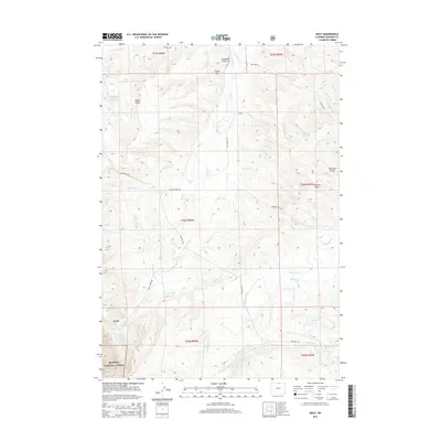 2015 Wolf2015 Print · USGSSheridan County ranching country is shown here in the mid-2010s, where the high plains meet the mountains. Trace the historic irrigation networks and family ranch landmarks including Old Reliable Ditch, Hanff Reservoir, and the settlement of Wolf.
 - 2017 Map of Wolf, 2017 Print
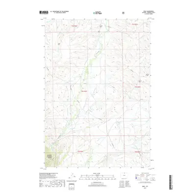 2017 Wolf2017 Print · USGSSheridan County ranching and irrigation systems are revealed in high detail during the late twenty-teens. Genealogists and historians can trace the complex network of water rights through features like Old Reliable Ditch, Alliance Ditch, and Hanff Reservoir.
 - 2021 Map of Wolf, 2021 Print
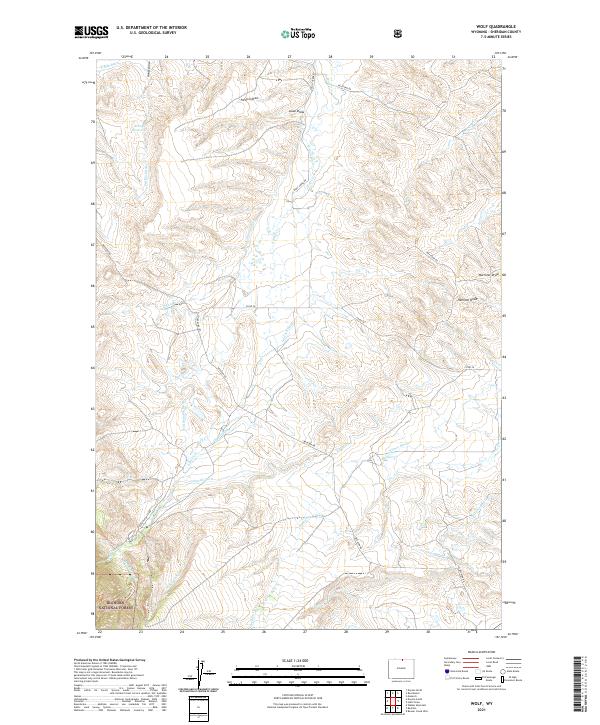 2021 Wolf2021 Print · USGSSheridan County ranch lands and mountain foothills are captured here in the early twenty-first century, showcasing a landscape defined by historic water rights. Researchers can trace the sophisticated irrigation network of the Old Reliable Ditch and Garrard Ditch alongside Eatons Ranch Rd.
End of results
Showing maps 1-13 of 13
Top cities near Wolf
Frequently asked questions
- What are the different types of historical maps available for Wolf?
- What is the oldest map of Wolf?
- Where can I purchase historical maps of Wolf for my home or office?
- Where can I download high-res historical maps of Wolf?
- Are there historical topographic maps available for Wolf?
- Is there historical aerial imagery available for Wolf?
- Where are historical maps of Wolf sourced from?