
1964 Map of Wolf
USGS Topo · Published 1967About this map
The Bighorn Roosevelt National Forest dominates the southwestern corner of this 1964 survey, where the terrain drops sharply toward the foothills of Sheridan County. The landscape is defined by an intricate network of irrigation systems like the South Side Ditch, Hanff Ditch, and Soldier Creek, which support the ranching operations along the base of the mountains.
Find a feature on this map
39 named features on this map. Tap any name to fly to it.
Don’t see what you’re looking for? This feature index may not catch every label — zoom into the map to look around manually.
Map Details
Editions of this 1964 Wolf Map
This is the sole edition of this map. No revisions or reprints were ever made.
Other maps of this area

1895 · Dayton
USGS Topo · 1:125,000

1901 · Dayton
USGS Topo · 1:125,000

1955 · Sheridan
USGS Topo · 1:250,000

1958 · Sheridan
USGS Topo · 1:250,000

1962 · Sheridan
USGS Topo · 1:250,000
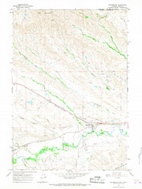
1964 · Ranchester
USGS Topo · 1:24,000
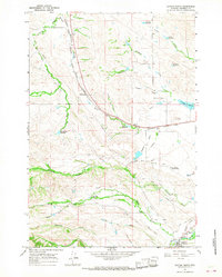
1964 · Dayton North
USGS Topo · 1:24,000
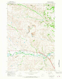
1964 · Monarch
USGS Topo · 1:24,000

1964 · Dayton South
USGS Topo · 1:24,000

1964 · Walker Mountain
USGS Topo · 1:24,000