
1964 Map of Walker Mountain
USGS Topo · Published 1968About this map
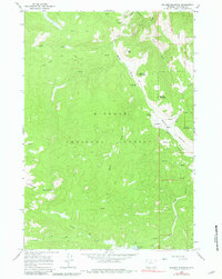
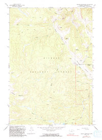
Bighorn National Forest dominates this high-altitude landscape in the mid-1960s, defined by a complex network of pack trails and remote resource extraction. The area around Walker Mountain and Big Mountain reveals the seasonal infrastructure of the mountain economy, specifically the Quartz Creek Cow Camp and several mining operations, including the Taylor Mine on the western slopes of Lookout Mountain. These features indicate the persistent use of the range for both livestock grazing and prospecting during this era.
Find a feature on this map
29 named features on this map. Tap any name to fly to it.
Don’t see what you’re looking for? This feature index may not catch every label — zoom into the map to look around manually.
Map Details
Editions of this 1964 Walker Mountain Map
3 editions found
Other maps of this area

1895 · Dayton
USGS Topo · 1:125,000

1901 · Dayton
USGS Topo · 1:125,000

1955 · Sheridan
USGS Topo · 1:250,000

1958 · Sheridan
USGS Topo · 1:250,000

1962 · Sheridan
USGS Topo · 1:250,000

1964 · Wolf
USGS Topo · 1:24,000

1964 · Dayton South
USGS Topo · 1:24,000
1964 · Skull Ridge
USGS Topo · 1:24,000

1964 · Beckton
USGS Topo · 1:24,000
1964 · Woodrock
USGS Topo · 1:24,000