Old Maps of Big Piney, Wyoming for Metal Detecting
Plan your next treasure hunt with 10 historic maps of Big Piney. Find old homesites, ghost towns, trails, and gathering spots that may be lost to time — perfect for identifying promising metal detecting locations.
- Locate forgotten sites: Uncover places like long-lost settlements, abandoned rail lines, or gathering spots.
- Plan better hunts: Use map overlays combined with LiDAR or satellite views to narrow in on historically rich areas.
- Made for detectorists: Thousands of hobbyists use these maps to discover relics, coins, and hidden history.
Use these historic maps to boost your research and find new opportunities beneath the surface of Big Piney.
Big Piney, WY maps
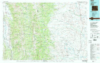
(10)- 1939 Map of Big Piney, 1957 Print
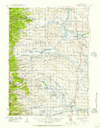 1939 Big Piney1957 Print · USGSSublette County ranching country and the Green River valley are shown here just before the war. You can trace the historic Lander Trail and locate early sites like Site of Old Ft Bonneville and Halfway.
 - 1942 Map of Big Piney
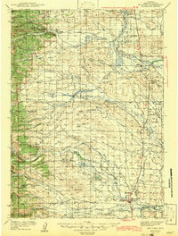 1942 Big Piney1942 Print · USGSSublette County ranching and frontier history are captured here in the early 1940s, just as the region's irrigation and land management systems were maturing. Genealogists can locate family names and remote landmarks like the Bronx Sch, the Site of Old Ft Bonneville, and the State Fish Hatchery.
 - 1955 Map of Preston, 1968 Print
 1955 Preston1968 Print · USGSSoutheast Idaho and western Wyoming are shown in detail during the mid-fifties, from the high Bear River Range to the Green River Basin. Genealogists and collectors can trace the Union Pacific RR through historic towns like Preston, Montpelier, and Afton.3 unique versions available
 - 1958 Map of Preston
 1958 Preston1958 Print · USGSThe high valleys of the Idaho and Wyoming borderlands are captured here in the late fifties, showcasing a landscape of mountain ranching and phosphate mining. Genealogists and historians can locate early settlements like Chesterfield and Bedford or trace the Union Pacific rail lines serving Cokeville.2 unique versions available
 - 1962 Map of Preston
 1962 Preston1962 Print · USGSSoutheast Idaho and the Wyoming borderlands are captured here in the early sixties, a time of thriving agricultural valleys and mountain ranching. Researchers can trace the Union Pacific rail lines and find legacy settlements like Montpelier, Afton, and Preston.
 - 1970 Map of Big Piney West, 1973 Print
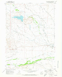 1970 Big Piney West1973 Print · USGSSublette County ranching and oil development are captured here in the early seventies as irrigation ditches spread across the Green River Basin. Trace pioneer history along the Emigrant Trail or locate family landmarks like Plainview Cem and the Ruben Oil Field.2 unique versions available
 - 1970 Map of Big Piney East, 1973 Print
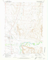 1970 Big Piney East1973 Print · USGSSublette County settlement and irrigation are well-established by the early seventies in this high-basin study. Genealogists and historians can trace the Emigrant Trail (Lander Cutoff) and local landmarks like the Ferry and Big Piney.2 unique versions available
 - 1982 Map of Afton
 1982 Afton1982 Print · USGSWestern Wyoming during the early eighties shows a landscape of mountain ranges and valley settlements. Genealogists can trace family names and small towns across Star Valley, while historians can locate the path of the Lander Cutoff and the Cottonwood Mine.
 - 2021 Map of Big Piney East, 2021 Print
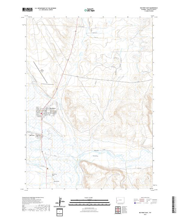 2021 Big Piney East2021 Print · USGSThe high plains of Sublette County appear in detail as they were in the early twenty-first century, showing the neighboring ranching towns of Big Piney and Marbleton. Researchers can trace the extensive network of historic water rights through labels like O'Neil Ditch, Highline Canal, and the landmarks surrounding Ferry Island.
 - 2021 Map of Big Piney West, 2021 Print
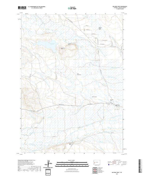 2021 Big Piney West2021 Print · USGSThe ranching country of western Wyoming unfolds in this recent survey of the Big Piney area. Researchers can trace historic water rights through family-named canals like Lehmer Ditch and McNinch Ditch, or locate landmarks like Plainview Cem.
End of results
Showing maps 1-10 of 10
Top cities near Big Piney
Frequently asked questions
- What are the different types of historical maps available for Big Piney?
- What is the oldest map of Big Piney?
- Where can I purchase historical maps of Big Piney for my home or office?
- Where can I download high-res historical maps of Big Piney?
- Are there historical topographic maps available for Big Piney?
- Is there historical aerial imagery available for Big Piney?
- Where are historical maps of Big Piney sourced from?