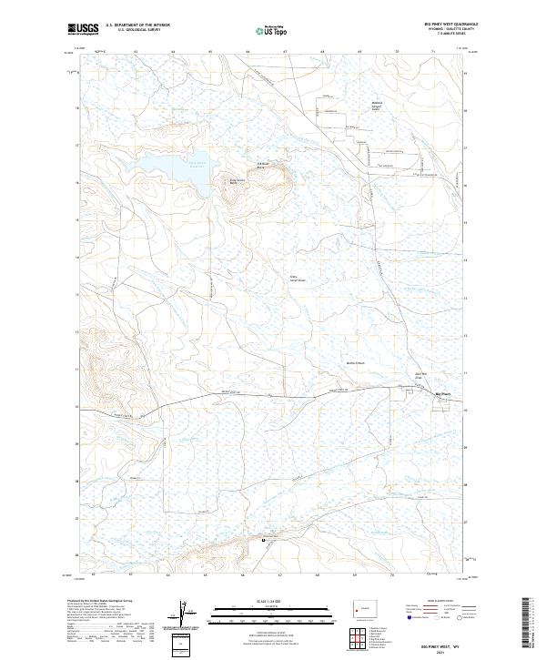
2021 Map of Big Piney West
USGS Topo · Published 2021About this map
Big Piney anchors the southeastern corner of this Sublette County landscape, where the high plains meet a complex network of ranching irrigation. The terrain is defined by dry land features like McNinch Wash and Deer Hill Draw, yet the map is densely layered with an intricate system of water management including the Sixty-Seven Reservoir Distribution Canal and Osterhout Edwards Ditch. This reliance on channeled water from N Piney Cr and S Piney Cr underscores the agricultural persistence in this arid environment.
Find a feature on this map
52 named features on this map. Tap any name to fly to it.
Don’t see what you’re looking for? This feature index may not catch every label — zoom into the map to look around manually.
Map Details
Editions of this 2021 Big Piney West Map
This is the sole edition of this map. No revisions or reprints were ever made.
Other maps of this area

1939 · Big Piney
USGS Topo · 1:125,000

1942 · Big Piney
USGS Topo · 1:125,000

1955 · Preston
USGS Topo · 1:250,000

1958 · Preston
USGS Topo · 1:250,000

1962 · Preston
USGS Topo · 1:250,000

1969 · Chimney Butte
USGS Topo · 1:24,000
1969 · Milleson Draw
USGS Topo · 1:24,000

1969 · Cretaceous Mountain
USGS Topo · 1:24,000
1970 · Budd Reservoir
USGS Topo · 1:24,000
1970 · Big Piney West
USGS Topo · 1:24,000