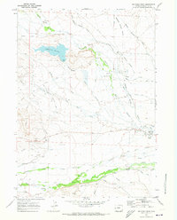
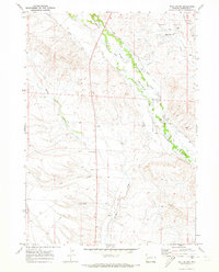
1970 Map of Big Piney West
USGS Topo · Published 1973About this map
The Emigrant Trail and Lander Cutoff cut across this Sublette County landscape, tracing the historic movement of pioneers through the Wyoming basin. Centered near Big Piney, the map illustrates a complex network of ranching and petroleum infrastructure developed by 1970. The hydrology of the region is defined by the three forks of Piney Creek, where numerous irrigation projects like the Homestake Ditch and Mickelson Ditch draw water toward local holdings.
Find a feature on this map
50 named features on this map. Tap any name to fly to it.
Don’t see what you’re looking for? This feature index may not catch every label — zoom into the map to look around manually.
Map Details
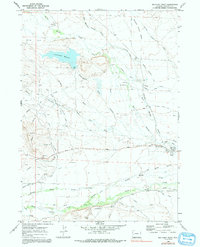
Editions of this 1970 Big Piney West Map
2 editions found
Other maps of this area

1939 · Big Piney
USGS Topo · 1:125,000

1942 · Big Piney
USGS Topo · 1:125,000

1955 · Preston
USGS Topo · 1:250,000

1958 · Preston
USGS Topo · 1:250,000

1962 · Preston
USGS Topo · 1:250,000

1969 · Chimney Butte
USGS Topo · 1:24,000
1969 · Milleson Draw
USGS Topo · 1:24,000

1969 · Cretaceous Mountain
USGS Topo · 1:24,000
1970 · Budd Reservoir
USGS Topo · 1:24,000
1970 · Ball Island
USGS Topo · 1:24,000