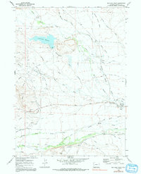
1970 Map of Big Piney West
USGS Topo · Published 1991About this map
The high plains of Sublette County appear here as a landscape defined by historic western migration and sophisticated 20th-century water management. The legacy of the westward expansion is etched into the terrain by the Emigrant Trail and the Lander Cutoff, which traverse the open country alongside newer infrastructure. Water remains the central character of the region, illustrated by a complex network of irrigation works including the East Star Corral Reservoir Distribution Canal and numerous family-named channels like the Mc Ninch Ditch and Ex Pence Ditch.
Find a feature on this map
41 named features on this map. Tap any name to fly to it.
Don’t see what you’re looking for? This feature index may not catch every label — zoom into the map to look around manually.
Map Details
Editions of this 1970 Big Piney West Map
2 editions found
Other maps of this area

1939 · Big Piney
USGS Topo · 1:125,000

1942 · Big Piney
USGS Topo · 1:125,000

1955 · Preston
USGS Topo · 1:250,000

1958 · Preston
USGS Topo · 1:250,000

1962 · Preston
USGS Topo · 1:250,000

1969 · Chimney Butte
USGS Topo · 1:24,000
1969 · Milleson Draw
USGS Topo · 1:24,000

1969 · Cretaceous Mountain
USGS Topo · 1:24,000
1970 · Budd Reservoir
USGS Topo · 1:24,000
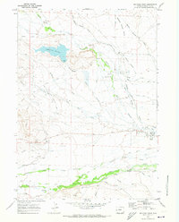
1970 · Big Piney West
USGS Topo · 1:24,000