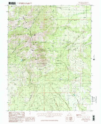
1985 Map of Abajo Peak
USGS Topo · Published 1985About this map
The high elevations of the Abajo Mountains dominate this 1980s topographic study within the Manti-La Sal National Forest. Centered on the towering Abajo Peak, the map documents a landscape defined by significant summits like Horsehead Peak and North Peak, connected by high-altitude crossings such as Cooley Pass and Dickson Pass. The drainage patterns are clearly delineated, with Verdure Creek and Recapture Creek flowing through complex canyon systems including Bulldog Canyon and Devil Canyon.
Find a feature on this map
37 named features on this map. Tap any name to fly to it.
Don’t see what you’re looking for? This feature index may not catch every label — zoom into the map to look around manually.
Map Details
Editions of this 1985 Abajo Peak Map
2 editions found
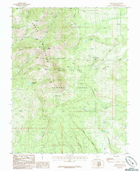
Other maps of this area

1886 · Abajo
USGS Topo · 1:250,000

1892 · Abajo
USGS Topo · 1:250,000

1893 · Abajo
USGS Topo · 1:250,000

1935 · Elk Ridge
USGS Topo · 1:96,000

1940 · Elk Ridge
USGS Topo · 1:125,000

1954 · Elk Ridge 1 NE
USGS Topo · 1:24,000

1954 · Elk Ridge 1 SE
USGS Topo · 1:24,000
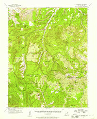
1954 · Mt Linnaeus
USGS Topo · 1:62,500

1955 · Verdure 2 SE
USGS Topo · 1:24,000

1955 · Verdure 3 NE
USGS Topo · 1:24,000