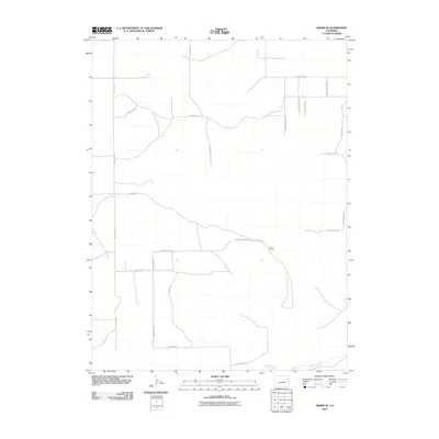
2010 Map of Abarr SE
USGS Topo · Published 2010About this map
The Arikaree River carves a slow path through the southeastern corner of this Yuma County landscape, defining the primary drainage for a region dominated by a meticulous grid of rural infrastructure. The terrain is structured by a network of local thoroughfares such as County Road L and County Road S, which support the agricultural life of the High Plains. Unlike more densely populated regions, this area is characterized by vast open spaces and isolated points of interest like the Hines Ranch, situated north of the river. The placement of routes like County Road 19 and County Road M reflects a settlement pattern built around land sectioning and ranching access. This 2010 survey provides a clear look at the contemporary layout of water rights and property access in a quiet, productive corner of eastern Colorado.
Find a feature on this map
20 named features on this map. Tap any name to fly to it.
Don’t see what you’re looking for? This feature index may not catch every label — zoom into the map to look around manually.
Map Details
Editions of this 2010 Abarr SE Map
This is the sole edition of this map. No revisions or reprints were ever made.
Other maps of this area

1954 · Limon
USGS Topo · 1:250,000

1957 · Limon
USGS Topo · 1:250,000

1958 · Limon
USGS Topo · 1:250,000

1968 · Abarr SE
USGS Topo · 1:24,000

1968 · Vernon SW
USGS Topo · 1:24,000

1968 · Joes
USGS Topo · 1:24,000

1968 · Spring Canyon
USGS Topo · 1:24,000

1968 · Adler Creek
USGS Topo · 1:24,000

1969 · Heartstrong
USGS Topo · 1:24,000

1969 · Vernon NW
USGS Topo · 1:24,000