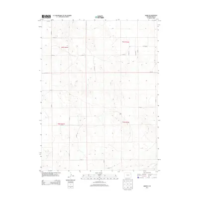
2013 Map of Abarr SE
USGS Topo · Published 2013About this map
Hines Ranch stands as a focal point in this portion of Yuma County, illustrating the agricultural and ranching heritage of eastern Colorado. The landscape is defined by the high plains topography, where the subtle drainage of the Arikaree River cuts across the southeast corner. The map documents a highly structured section-line road network, featuring thoroughfares like Co Road 21, Co Road M, and Co Road N that facilitate movement across the vast township and range system. This 2013 survey provides a clear look at the contemporary land divisions and rural infrastructure within t002s r047w and neighboring townships, showing how the grid system continues to organize the high plains long after the initial settlement era.
Find a feature on this map
26 named features on this map. Tap any name to fly to it.
Don’t see what you’re looking for? This feature index may not catch every label — zoom into the map to look around manually.
Map Details
Editions of this 2013 Abarr SE Map
This is the sole edition of this map. No revisions or reprints were ever made.
Other maps of this area

1954 · Limon
USGS Topo · 1:250,000

1957 · Limon
USGS Topo · 1:250,000

1958 · Limon
USGS Topo · 1:250,000

1968 · Abarr SE
USGS Topo · 1:24,000

1968 · Vernon SW
USGS Topo · 1:24,000

1968 · Joes
USGS Topo · 1:24,000

1968 · Spring Canyon
USGS Topo · 1:24,000

1968 · Adler Creek
USGS Topo · 1:24,000

1969 · Heartstrong
USGS Topo · 1:24,000

1969 · Vernon NW
USGS Topo · 1:24,000