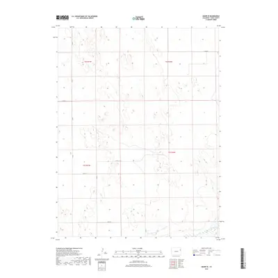
2019 Map of Abarr SE
USGS Topo · Published 2019About this map
The Arikaree River winds through the southeastern corner of this Yuma County landscape, defining the primary drainage for an area otherwise characterized by high plains and a sparse network of county roads. In this portion of Northeast Colorado, the land is organized by the Public Land Survey System, with boundaries such as t3s r46w and t2s r47w marking the grid. Transport and access are limited to a functional grid of rural routes, including Co Rd L, Co Rd P, and Co Rd 20, which facilitate movement between scattered agricultural holdings. The map illustrates the quiet, low-density settlement pattern of the High Plains, where human presence is measured by the intersection of section lines and the occasional bend in the river valley.
Find a feature on this map
13 named features on this map. Tap any name to fly to it.
Don’t see what you’re looking for? This feature index may not catch every label — zoom into the map to look around manually.
Map Details
Editions of this 2019 Abarr SE Map
This is the sole edition of this map. No revisions or reprints were ever made.
Other maps of this area

1954 · Limon
USGS Topo · 1:250,000

1957 · Limon
USGS Topo · 1:250,000

1958 · Limon
USGS Topo · 1:250,000

1968 · Abarr SE
USGS Topo · 1:24,000

1968 · Vernon SW
USGS Topo · 1:24,000

1968 · Joes
USGS Topo · 1:24,000

1968 · Spring Canyon
USGS Topo · 1:24,000

1968 · Adler Creek
USGS Topo · 1:24,000

1969 · Heartstrong
USGS Topo · 1:24,000

1969 · Vernon NW
USGS Topo · 1:24,000