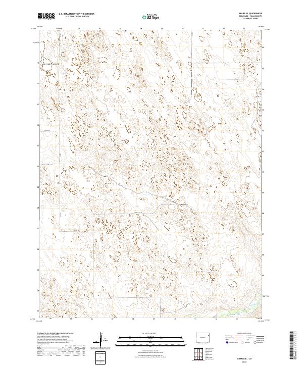
2022 Map of Abarr SE
USGS Topo · Published 2022About this map
The Arikaree River cuts through the southeastern corner of this Yuma County landscape, marking one of the few distinct hydrological breaks in an otherwise vast expanse of high plains terrain. Mapping of the area's survey townships, including t2s r47w and t2s r46w, reveals the geometric precision of the Public Land Survey System that governs the layout of the region. A sparse network of gravel and dirt connectors, such as Co Rd L and Co Rd 13, trace the section lines, reflecting the rural agricultural character of northeastern Colorado. The map illustrates the subtle undulations of the landscape, where minor depressions and drainage patterns intersect with the rigid grid of county roads like Co Rd M. This survey provides a precise record of the land use and water features that define the High Plains environment south of the Nebraska border.
Find a feature on this map
13 named features on this map. Tap any name to fly to it.
Don’t see what you’re looking for? This feature index may not catch every label — zoom into the map to look around manually.
Map Details
Editions of this 2022 Abarr SE Map
This is the sole edition of this map. No revisions or reprints were ever made.
Other maps of this area

1954 · Limon
USGS Topo · 1:250,000

1957 · Limon
USGS Topo · 1:250,000

1958 · Limon
USGS Topo · 1:250,000

1968 · Abarr SE
USGS Topo · 1:24,000

1968 · Vernon SW
USGS Topo · 1:24,000

1968 · Joes
USGS Topo · 1:24,000

1968 · Spring Canyon
USGS Topo · 1:24,000

1968 · Adler Creek
USGS Topo · 1:24,000

1969 · Heartstrong
USGS Topo · 1:24,000

1969 · Vernon NW
USGS Topo · 1:24,000