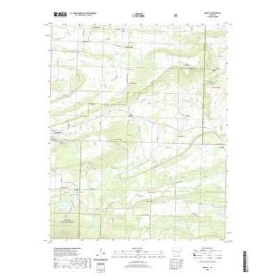
2020 Map of Abbott
USGS Topo · Published 2020About this map
Mansfield sits at the junction of Sebastian and Scott counties, serving as a focal point for the surrounding rural landscape where small communities like Abbott, Dayton, and Crossroads are linked by a network of county roads. The terrain is defined by prominent ridges including Union Ridge and Black Jack Ridge, which channel water into creeks such as Prairie Cr and Little Petit Jean Cr. This survey documents a high concentration of small family and community burial grounds, from Pinkston Cem on the northern slopes to Cantrell Cem further south.
Find a feature on this map
109 named features on this map. Tap any name to fly to it.
Don’t see what you’re looking for? This feature index may not catch every label — zoom into the map to look around manually.
Map Details
Editions of this 2020 Abbott Map
This is the sole edition of this map. No revisions or reprints were ever made.
Other maps of this area

1879 · Poteau Mountain
USGS Topo · 1:62,500

1887 · Poteau Mountain #1
USGS Topo · 1:62,500

1887 · Poteau Mountain #2
USGS Topo · 1:62,500

1887 · Greenwood
USGS Topo · 1:62,500

1890 · Fort Smith
USGS Topo · 1:125,000

1890 · Poteau Mountain
USGS Topo · 1:125,000

1899 · Poteau Mountain
USGS Topo · 1:125,000

1906 · Barber
USGS Topo · 1:62,500

1939 · Waldron
USGS Topo · 1:62,500

1940 · Waldron
USGS Topo · 1:62,500