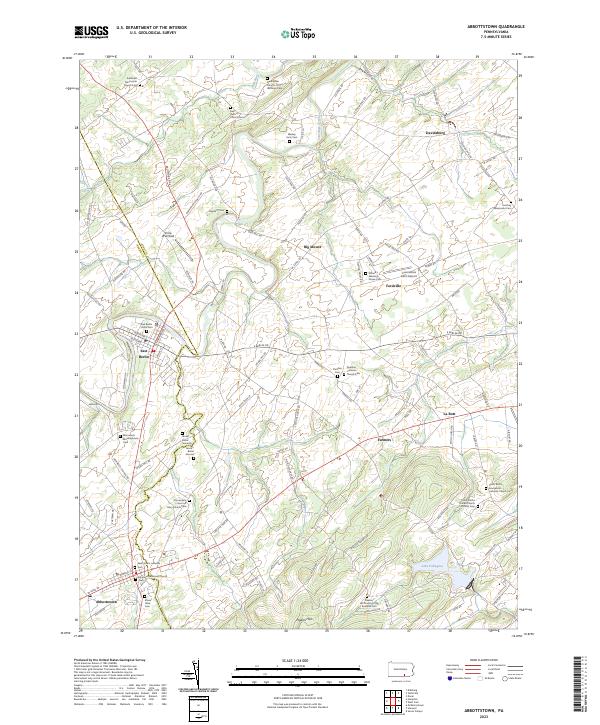
2023 Map of Abbottstown
USGS Topo · Published 2023About this map
Abbottstown and East Berlin anchor this portrait of the Pennsylvania Dutch country, where the landscape is defined by a dense network of country roads and colonial-era church foundations. The terrain transitions from the alluvial plains of Conewago Creek to the rising elevations of the Pigeon Hills in the southeast. This area is a significant corridor for genealogical research, evidenced by the numerous family and denominational burial sites such as the Mummerts Meetinghouse Cem and Jacobs Burial Grounds.
Find a feature on this map
121 named features on this map. Tap any name to fly to it.
Don’t see what you’re looking for? This feature index may not catch every label — zoom into the map to look around manually.
Map Details
Editions of this 2023 Abbottstown Map
This is the sole edition of this map. No revisions or reprints were ever made.
Other maps of this area

1904 · Carlisle
USGS Topo · 1:62,500

1906 · New Cumberland
USGS Topo · 1:62,500

1908 · Gettysburg
USGS Topo · 1:62,500

1920 · Hanover
USGS Topo · 1:62,500

1922 · Hanover
USGS Topo · 1:62,500

1942 · Gettysburg
USGS Topo · 1:125,000

1943 · New Cumberland
USGS Topo · 1:62,500

1943 · Carlisle
USGS Topo · 1:62,500

1944 · Mc Sherrystown
USGS Topo · 1:31,680

1944 · Hampton
USGS Topo · 1:31,680