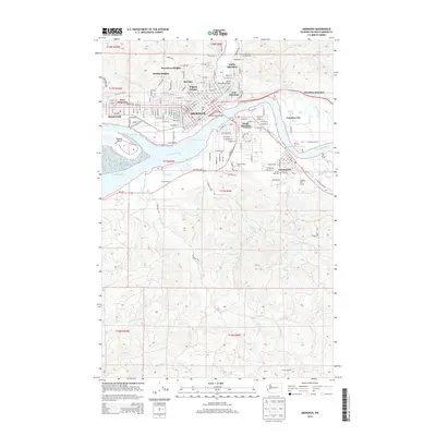
2014 Map of Aberdeen
USGS Topo · Published 2014About this map
Aberdeen and Hoquiam dominate the northern shoreline of this survey, where the Wishkah River and Chehalis River converge. The landscape is defined by the complex industrial and maritime geography of the Aberdeen Reach and Cosmopolis Waterway, with Rennie Island and Cow Point shaping the shipping channels. In the hills above the waterfront, residential neighborhoods like Broadway Heights, Herbig Heights, and Pilgrim Heights reflect the area's mid-century expansion into higher ground.
Find a feature on this map
52 named features on this map. Tap any name to fly to it.
Don’t see what you’re looking for? This feature index may not catch every label — zoom into the map to look around manually.
Map Details
Editions of this 2014 Aberdeen Map
This is the sole edition of this map. No revisions or reprints were ever made.
Other maps of this area

1940 · Montesano
USGS Topo · 1:62,500

1941 · Mobray
USGS Topo · 1:62,500

1943 · Humptulips
USGS Topo · 1:62,500

1943 · Mobray
USGS Topo · 1:62,500

1953 · Hoquiam
USGS Topo · 1:250,000

1955 · Montesano
USGS Topo · 1:62,500

1955 · Wynoochee Valley
USGS Topo · 1:62,500

1955 · Humptulips
USGS Topo · 1:62,500

1955 · Aberdeen SE
USGS Topo · 1:24,000

1956 · Western
USGS Topo · 1:24,000