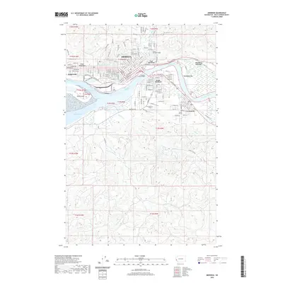
2020 Map of Aberdeen
USGS Topo · Published 2020About this map
The Wishkah River and Chehalis River converge at the heart of this coastal landscape, defining the industrial and civic development of Aberdeen. By the early 21st century, the urban footprint spans from East Hoquiam through the various districts of South Aberdeen and East Aberdeen, down to the riverfront at Cosmopolis. The presence of the BNSF Railway and major crossings like the Chehalis River Bridge underscore the importance of the maritime and rail economy centered on the Aberdeen Reach.
Find a feature on this map
91 named features on this map. Tap any name to fly to it.
Don’t see what you’re looking for? This feature index may not catch every label — zoom into the map to look around manually.
Map Details
Editions of this 2020 Aberdeen Map
This is the sole edition of this map. No revisions or reprints were ever made.
Other maps of this area

1940 · Montesano
USGS Topo · 1:62,500

1941 · Mobray
USGS Topo · 1:62,500

1943 · Humptulips
USGS Topo · 1:62,500

1943 · Mobray
USGS Topo · 1:62,500

1953 · Hoquiam
USGS Topo · 1:250,000

1955 · Montesano
USGS Topo · 1:62,500

1955 · Wynoochee Valley
USGS Topo · 1:62,500

1955 · Humptulips
USGS Topo · 1:62,500

1955 · Aberdeen SE
USGS Topo · 1:24,000

1956 · Western
USGS Topo · 1:24,000