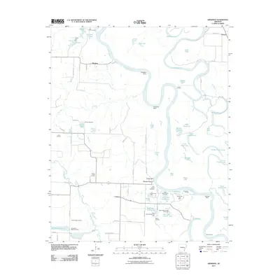
2011 Map of Aberdeen
USGS Topo · Published 2011About this map
The White River carves a complex path through this landscape, defining a region characterized by dramatic oxbows and river-bottom topography. This environment is marked by named features such as Hurricane Bend and Coahoma Point, where the river's historical shifts have left behind a dense network of water bodies including Goose Pond, Horseshoe Lake, and Eagle Nest Lake. The map reveals a rural settlement pattern focused on small hubs like Aberdeen and Casscoe, connected by a web of local roads and landings.
Find a feature on this map
90 named features on this map. Tap any name to fly to it.
Don’t see what you’re looking for? This feature index may not catch every label — zoom into the map to look around manually.
Map Details
Editions of this 2011 Aberdeen Map
This is the sole edition of this map. No revisions or reprints were ever made.
Other maps of this area

1935 · Clarendon
USGS Topo · 1:62,500

1939 · Indian Bay
USGS Topo · 1:62,500

1940 · Holly Grove
USGS Topo · 1:62,500

1941 · De Witt
USGS Topo · 1:62,500

1941 · Clarendon
USGS Topo · 1:62,500

1948 · Helena
USGS Topo · 1:250,000

1950 · Helena
USGS Topo · 1:250,000

1954 · Indian Bay
USGS Topo · 1:62,500

1954 · De Witt
USGS Topo · 1:62,500

1955 · Helena
USGS Topo · 1:250,000