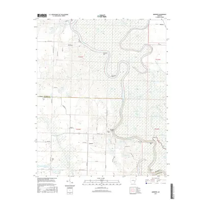
2017 Map of Aberdeen
USGS Topo · Published 2017About this map
Aberdeen and Casscoe anchor this Arkansas River valley landscape, where the shifting hydrology of the White River creates a complex network of oxbows and backwaters. The terrain is defined by dramatic river features like Hurricane Bend and Coahoma Point, while the surrounding bottomlands are dotted with numerous named water bodies including Big Eagle Lake, Luckett Lake, and Cooks Lake. This environment reflects a deep reliance on the river system for local navigation and drainage, historically evidenced by landings and crossings like Preston Ferry situated on Preston Bluff. Away from the main channel, the map documents several community anchors for genealogists, including Hunters Chapel Cem and Mount Pisgah Cem. The transition from the alluvial plain to the higher ground near Lookout is marked by an intricate web of bayous, such as La Grue Bayou, which helped dictate the placement of early settlements and roads.
Find a feature on this map
88 named features on this map. Tap any name to fly to it.
Don’t see what you’re looking for? This feature index may not catch every label — zoom into the map to look around manually.
Map Details
Editions of this 2017 Aberdeen Map
This is the sole edition of this map. No revisions or reprints were ever made.
Other maps of this area

1935 · Clarendon
USGS Topo · 1:62,500

1939 · Indian Bay
USGS Topo · 1:62,500

1940 · Holly Grove
USGS Topo · 1:62,500

1941 · De Witt
USGS Topo · 1:62,500

1941 · Clarendon
USGS Topo · 1:62,500

1948 · Helena
USGS Topo · 1:250,000

1950 · Helena
USGS Topo · 1:250,000

1954 · Indian Bay
USGS Topo · 1:62,500

1954 · De Witt
USGS Topo · 1:62,500

1955 · Helena
USGS Topo · 1:250,000