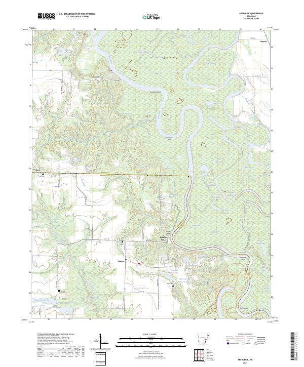
2024 Map of Aberdeen
USGS Topo · Published 2024About this map
The White River carves a winding path through the heart of the Dale Bumpers White River National Wildlife Refuge, creating a landscape defined by dramatic meanders and oxbow lakes. This river-centric geography is anchored by the community of Aberdeen, with the historic crossing at Preston Ferry and the nearby Preston Bluff providing essential landmarks along the water’s edge. The region’s hydrology is remarkably complex, featuring a dense network of water bodies such as Upper Crooked Lake, Goose Pond, and the secluded Boggy Lake.
Find a feature on this map
80 named features on this map. Tap any name to fly to it.
Don’t see what you’re looking for? This feature index may not catch every label — zoom into the map to look around manually.
Map Details
Editions of this 2024 Aberdeen Map
This is the sole edition of this map. No revisions or reprints were ever made.
Other maps of this area

1935 · Clarendon
USGS Topo · 1:62,500

1939 · Indian Bay
USGS Topo · 1:62,500

1940 · Holly Grove
USGS Topo · 1:62,500

1941 · De Witt
USGS Topo · 1:62,500

1941 · Clarendon
USGS Topo · 1:62,500

1948 · Helena
USGS Topo · 1:250,000

1950 · Helena
USGS Topo · 1:250,000

1954 · Indian Bay
USGS Topo · 1:62,500

1954 · De Witt
USGS Topo · 1:62,500

1955 · Helena
USGS Topo · 1:250,000