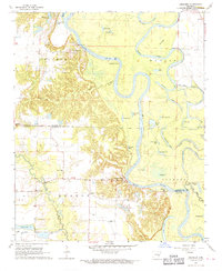
1968 Map of Aberdeen
USGS Topo · Published 1970About this map
White River oxbows and swampy bottomlands dominate this mid-century topographic record of the border between Monroe and Arkansas counties. The winding river course is flanked by dozens of named water bodies like Big Eagle Lake, Goose Lakes, and Horseshoe Lake, illustrating the fluid nature of the Delta landscape before modern channelization efforts were fully realized. The tiny settlement of Aberdeen sits perched near the riverbank, while the presence of Preston Ferry further south indicates the reliance on traditional river crossings in an era of limited bridge access.
Find a feature on this map
57 named features on this map. Tap any name to fly to it.
Don’t see what you’re looking for? This feature index may not catch every label — zoom into the map to look around manually.
Map Details
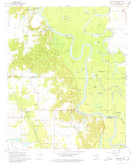
Editions of this 1968 Aberdeen Map
2 editions found
Other maps of this area

1935 · Clarendon
USGS Topo · 1:62,500

1939 · Indian Bay
USGS Topo · 1:62,500

1940 · Holly Grove
USGS Topo · 1:62,500

1941 · De Witt
USGS Topo · 1:62,500

1941 · Clarendon
USGS Topo · 1:62,500

1948 · Helena
USGS Topo · 1:250,000

1950 · Helena
USGS Topo · 1:250,000

1954 · Indian Bay
USGS Topo · 1:62,500

1954 · De Witt
USGS Topo · 1:62,500

1955 · Helena
USGS Topo · 1:250,000