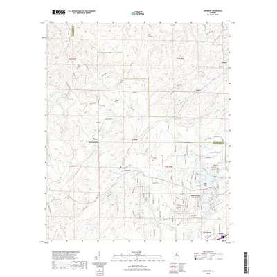
2018 Map of Abernant
USGS Topo · Published 2018About this map
Abernant and the surrounding hills of eastern Tuscaloosa County are depicted here in a landscape defined by small settlements and an extensive network of reservoirs. The area's geography is shaped by the ridge-and-valley topography of Griffin Ridge and Cely Ann Mtn, with residential growth clustered around significant water bodies such as Million Dollar Lake and Lake View. The transition from rural homesteads to modern subdivisions is evident in the dense street grids of Million Dollar Lake Estates contrasted against older communities like Yolande and Pattersontown. Local history is anchored by several rural burying grounds and places of worship, including Liberty Cem, Pleasant Grove Cem, and Hephzibah Church, providing clear points of reference for genealogists tracing family ties to this portion of the coal-bearing region near the Jefferson County line.
Find a feature on this map
137 named features on this map. Tap any name to fly to it.
Don’t see what you’re looking for? This feature index may not catch every label — zoom into the map to look around manually.
Map Details
Editions of this 2018 Abernant Map
This is the sole edition of this map. No revisions or reprints were ever made.
Other maps of this area

1899 · Brookwood
USGS Topo · 1:125,000

1927 · Adger
USGS Topo · 1:48,000

1929 · Searles
USGS Topo · 1:48,000

1931 · Cottondale
USGS Topo · 1:48,000

1932 · Yolande
USGS Topo · 1:62,500

1934 · Searles
USGS Topo · 1:62,500

1934 · Cottondale
USGS Topo · 1:62,500

1934 · Blocton
USGS Topo · 1:48,000

1935 · Yolande
USGS Topo · 1:62,500

1940 · Blocton
USGS Topo · 1:62,500