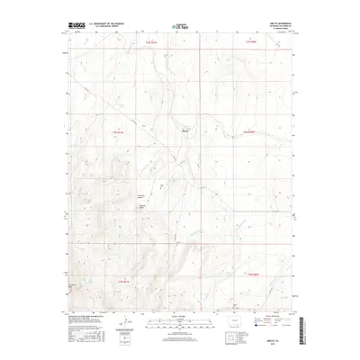
2016 Map of Abeyta
USGS Topo · Published 2016About this map
Abeyta and the small settlement of Cañoncito Romero anchor this high-plains landscape in Las Animas County, where water management is central to the local geography. The presence of the Hollenbeck Ditch and Quintanilla Ditch indicates a reliance on diverted surface water for agricultural use, likely feeding off the network of seasonal drainages such as San Isidro Cr and Rito Seco. For genealogists and local historians, the map is particularly valuable for its documentation of family-named landmarks and resting places, including Tapia Cem, Lucero Cem, and Leyba Cem. The terrain is defined by prominent elevations such as McBride Butte and the expansive Horseshoe Mesa, while isolated water sources like Juan Abeyta Spring and Rivale Spring provide crucial landmarks in the arid environment south of Cordova Lake.
Find a feature on this map
34 named features on this map. Tap any name to fly to it.
Don’t see what you’re looking for? This feature index may not catch every label — zoom into the map to look around manually.
Map Details
Editions of this 2016 Abeyta Map
This is the sole edition of this map. No revisions or reprints were ever made.
Other maps of this area

1892 · Elmoro
USGS Topo · 1:125,000

1893 · Elmoro
USGS Topo · 1:125,000

1897 · Elmoro
USGS Topo · 1:125,000

1912 · Raton
USGS Topo · 1:62,500

1914 · Raton
USGS Topo · 1:62,500

1954 · Raton
USGS Topo · 1:250,000

1954 · Trinidad
USGS Topo · 1:250,000

1955 · Trinidad
USGS Topo · 1:250,000

1958 · Raton
USGS Topo · 1:250,000

1958 · Trinidad
USGS Topo · 1:250,000