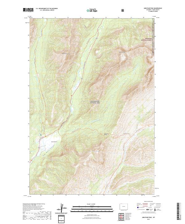
2021 Map of Abiathar Peak
USGS Topo · Published 2021About this map
Yellowstone National Park and the Shoshone National Forest converge in this high-altitude landscape of the Absaroka Range. The terrain is defined by massive peaks like Abiathar Peak and Barronette Peak, which overlook the deep corridor of Soda Butte Canyon. A network of backcountry routes, including the Pebble Creek Trl and Thunderer Cutoff Trl, follows the natural drainage patterns of Soda Butte Cr and Cache Cr. The presence of the NE Entrance Road provides the primary access point through this wilderness, passing near the distinct geological features of Ice Box Canyon and the open meadow of Round Prairie. This map captures a preserved alpine ecosystem where hydrological features like Buck Lake sit tucked beneath the shadows of The Thunderer and Mt Norris.
Find a feature on this map
24 named features on this map. Tap any name to fly to it.
Don’t see what you’re looking for? This feature index may not catch every label — zoom into the map to look around manually.
Map Details
Editions of this 2021 Abiathar Peak Map
This is the sole edition of this map. No revisions or reprints were ever made.
Other maps of this area

1886 · Canyon
USGS Topo · 1:125,000

1891 · Livingston
USGS Topo · 1:250,000

1893 · Livingston
USGS Topo · 1:250,000

1895 · Canyon
USGS Topo · 1:125,000

1896 · Canyon
USGS Topo · 1:125,000

1896 · Crandall Creek
USGS Topo · 1:125,000

1898 · Granite Mountain District
USGS Topo · 1:125,000

1899 · Crandall
USGS Topo · 1:125,000

1901 · Canyon
USGS Topo · 1:125,000

1907 · Canyon
USGS Topo · 1:125,000