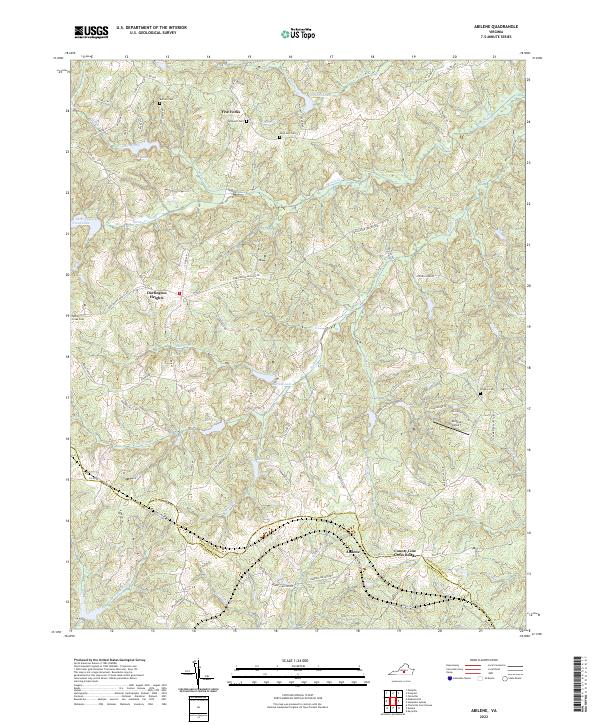
2022 Map of Abilene
USGS Topo · Published 2022About this map
Roanoke Cr and Buffalo Cr carve through the landscape of the Piedmont, defining the rural character of this border region between Charlotte and Prince Edward counties. The settlement pattern remains largely dispersed, anchored by local centers like Abilene and Darlington Heights. A strong sense of community history is evident in the numerous burial grounds scattered across the quadrangle, including Bethpeor Cem, Saint Ann Cem, and Douglas Cem. Transportation is dominated by a network of rural routes such as Darlington Heights Rd and Co Rd 671, which connect the small crossroad hamlets. The presence of the Abilene Airport and several small water bodies, such as Lake Gayle and Stockton Lake, suggests a landscape that maintains its agricultural and residential balance into the twenty-first century.
Find a feature on this map
79 named features on this map. Tap any name to fly to it.
Don’t see what you’re looking for? This feature index may not catch every label — zoom into the map to look around manually.
Map Details
Editions of this 2022 Abilene Map
This is the sole edition of this map. No revisions or reprints were ever made.
Other maps of this area

1891 · Farmville
USGS Topo · 1:125,000

1892 · Appomattox
USGS Topo · 1:125,000

1893 · Farmville
USGS Topo · 1:125,000

1947 · Roanoke
USGS Topo · 1:250,000

1956 · Charlotte Court House
USGS Topo · 1:62,500

1958 · Farmville
USGS Topo · 1:62,500

1958 · Keysville
USGS Topo · 1:62,500

1958 · Pamplin City
USGS Topo · 1:62,500

1959 · Roanoke
USGS Topo · 1:250,000

1963 · Roanoke
USGS Topo · 1:250,000