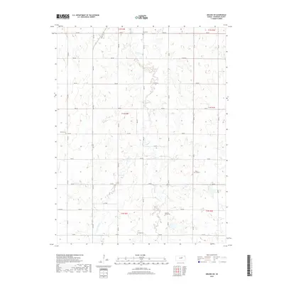
2018 Map of Abilene SW
USGS Topo · Published 2018About this map
Turkey Creek and its tributaries, including the W Br Turkey Cr, carve a branching drainage pattern across this Dickinson County landscape. The land is organized by a precise grid of rural corridors such as Gulf Rd, Indy Rd, and 1600 Ave, reflecting the enduring structure of the Public Land Survey System. For genealogists and local historians, the map is punctuated by numerous rural burial grounds that speak to the area's early settlement history. These include the Ebenezer Baptist Cem and New Basel Cem in the southern reaches, along with Farmington Cem, Newburn Cem, and Belle Spring Cem distributed across the central and northern sections. This 2018 survey provides an exact look at the rural section lines and watercourses that have defined this agricultural region for generations.
Find a feature on this map
34 named features on this map. Tap any name to fly to it.
Don’t see what you’re looking for? This feature index may not catch every label — zoom into the map to look around manually.
Map Details
Editions of this 2018 Abilene SW Map
This is the sole edition of this map. No revisions or reprints were ever made.
Other maps of this area

1889 · Abilene
USGS Topo · 1:125,000

1894 · Abilene
USGS Topo · 1:125,000

1955 · Hutchinson
USGS Topo · 1:250,000

1959 · Hutchinson
USGS Topo · 1:250,000

1963 · Abilene SW
USGS Topo · 1:24,000
1963 · Holland
USGS Topo · 1:24,000
1963 · Solomon
USGS Topo · 1:24,000

1964 · Elmo
USGS Topo · 1:24,000

1964 · Carlton
USGS Topo · 1:24,000
1964 · Chapman
USGS Topo · 1:24,000