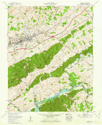
1960 Map of Abingdon
USGS Topo · Published 1962About this map
Abingdon serves as the focal point of this 1960 survey, showcasing the town's expansion along the Norfolk And Western railroad and the Lee Highway. The map illustrates a community in transition, balancing established institutions like the William King High Sch and Abingdon High School with newer developments such as the Southwest Virginia 4-H Center and Scott Addition. To the south, the landscape is defined by the significant presence of South Fork Holston Lake, where the Water intake tower and Filtration plant signify the era's infrastructure growth.
Find a feature on this map
67 named features on this map. Tap any name to fly to it.
Don’t see what you’re looking for? This feature index may not catch every label — zoom into the map to look around manually.
Map Details
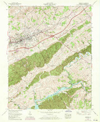
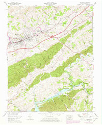
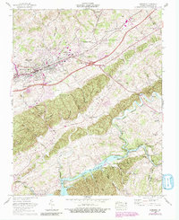
Editions of this 1960 Abingdon Map
4 editions found
Other maps of this area

1891 · Abingdon
USGS Topo · 1:125,000

1894 · Abingdon
USGS Topo · 1:125,000

1897 · Bristol
USGS Topo · 1:125,000

1902 · Bristol
USGS Topo · 1:125,000

1909 · Abingdon
USGS Topo · 1:96,000

1911 · Abingdon
USGS Topo · 1:125,000

1918 · Carterton
USGS Topo · 1:62,500

1934 · Holston Valley
USGS Topo · 1:24,000

1934 · Brumley
USGS Topo · 1:24,000

1934 · Wyndale
USGS Topo · 1:24,000