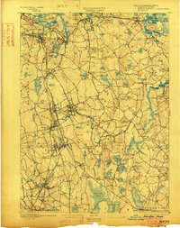
1893 Map of Abington
USGS Topo · Published 1902About this map
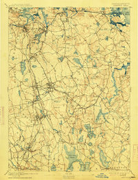
Rockland and Abington anchor a dense network of industrial and agricultural settlements in this late-nineteenth-century survey of the South Shore. The landscape is defined by the heavy infrastructure of the Old Colony Railroad, which connects coastal hubs like Weymouth Landing and Quincy to the inland factory towns of Whitman and East Bridgewater. The Hanover Branch Railroad cuts eastward through West Hanover, serving the manufacturing interests of the area while avoiding the massive reach of the Great Cedar Swamp to the south.
Find a feature on this map
182 named features on this map. Tap any name to fly to it.
Don’t see what you’re looking for? This feature index may not catch every label — zoom into the map to look around manually.
Map Details
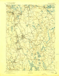
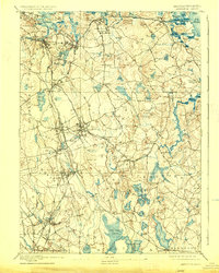
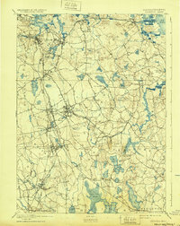
Editions of this 1893 Abington Map
9 editions found

Other maps of this area

1885 · Abington
USGS Topo · 1:62,500

1885 · Duxbury
USGS Topo · 1:62,500

1885 · Middleboro
USGS Topo · 1:62,500

1885 · Taunton
USGS Topo · 1:62,500

1886 · Plymouth
USGS Topo · 1:62,500

1886 · Dedham
USGS Topo · 1:62,500

1888 · Duxbury
USGS Topo · 1:62,500

1888 · Taunton
USGS Topo · 1:62,500

1888 · Middleboro
USGS Topo · 1:62,500

1888 · Abington
USGS Topo · 1:62,500