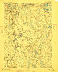
1893 Map of Abington
USGS Topo · Published 1910About this map
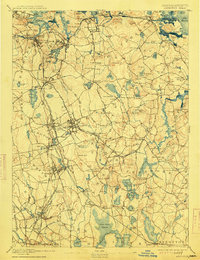
Old Colony Railroad corridors dominate the landscape of the South Shore during this era of late 19th-century expansion. This survey illustrates a complex web of transit lines, including the South Shore Branch and the Hanover Branch, which connected the coastal industrial hubs like Quincy and Weymouth with the inland manufacturing and residential centers of Abington and Rockland. The map captures the transition from old agricultural plains, such as Liberty Plain and Lower Plain, into a more densely interconnected network of rail-dependent villages.
Find a feature on this map
159 named features on this map. Tap any name to fly to it.
Don’t see what you’re looking for? This feature index may not catch every label — zoom into the map to look around manually.
Map Details
Editions of this 1893 Abington Map
9 editions found

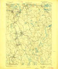
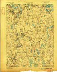
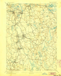
Other maps of this area

1885 · Abington
USGS Topo · 1:62,500

1885 · Duxbury
USGS Topo · 1:62,500

1885 · Middleboro
USGS Topo · 1:62,500

1885 · Taunton
USGS Topo · 1:62,500

1886 · Plymouth
USGS Topo · 1:62,500

1886 · Dedham
USGS Topo · 1:62,500

1888 · Duxbury
USGS Topo · 1:62,500

1888 · Taunton
USGS Topo · 1:62,500

1888 · Middleboro
USGS Topo · 1:62,500

1888 · Abington
USGS Topo · 1:62,500