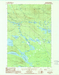
1988 Map of Abol Pond
USGS Topo · Published 1988About this map
Baxter State Park anchors this late-twentieth-century study of the Maine wilderness, dominated by the southern reaches of Mt Katahdin and Abol Mtn. The landscape is defined by the complex hydrology of the Penobscot River West Branch, which flows through numerous falls and deadwaters. Significant water bodies such as Abol Pond, Upper Togue Pond, and Lower Togue Pond dot the terrain, while smaller family-named features like Helon Taylor Pond and Foss and Knowlton Pond offer specific points of interest for local historians.
Find a feature on this map
52 named features on this map. Tap any name to fly to it.
Don’t see what you’re looking for? This feature index may not catch every label — zoom into the map to look around manually.
Map Details
Editions of this 1988 Abol Pond Map
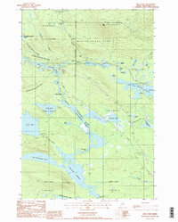
2 editions found
Other maps of this area

1927 · Katahdin
USGS Topo · 1:48,000

1930 · Katahdin
USGS Topo · 1:62,500

1949 · Katahdin
USGS Topo · 1:62,500

1951 · Norcross
USGS Topo · 1:62,500

1952 · Jo-Mary Mountain
USGS Topo · 1:62,500

1954 · Harrington Lake
USGS Topo · 1:62,500

1954 · Millinocket
USGS Topo · 1:250,000

1958 · Millinocket
USGS Topo · 1:250,000

1960 · Millinocket
USGS Topo · 1:250,000
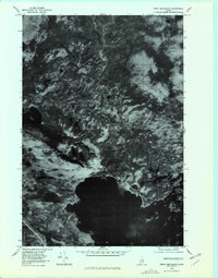
1978 · Trout Mountain
USGS Topo · 1:24,000