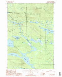
1988 Map of Abol Pond
USGS Topo · Published 1988About this map
Baxter State Park and the southern slopes of Mt Katahdin dominate this landscape in the Maine woods. This late 1980s survey captures a wilderness oriented around complex water systems and topographic extremes. The Appalachian National Scenic Trail winds through the western portion of the quadrangle, crossing Foss and Knowlton Brook and passing near the Abol Deadwater Campground.
Find a feature on this map
49 named features on this map. Tap any name to fly to it.
Don’t see what you’re looking for? This feature index may not catch every label — zoom into the map to look around manually.
Map Details
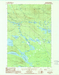
Editions of this 1988 Abol Pond Map
2 editions found
Other maps of this area

1927 · Katahdin
USGS Topo · 1:48,000

1930 · Katahdin
USGS Topo · 1:62,500

1949 · Katahdin
USGS Topo · 1:62,500

1951 · Norcross
USGS Topo · 1:62,500

1952 · Jo-Mary Mountain
USGS Topo · 1:62,500

1954 · Harrington Lake
USGS Topo · 1:62,500

1954 · Millinocket
USGS Topo · 1:250,000

1958 · Millinocket
USGS Topo · 1:250,000

1960 · Millinocket
USGS Topo · 1:250,000
1978 · Trout Mountain
USGS Topo · 1:24,000