2022 Map of Abrams
USGS Topo · Published 2022About this map
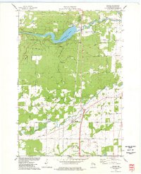
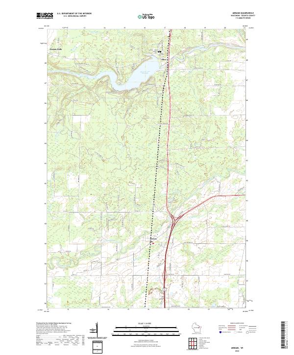
Abrams and Stiles serve as the primary hubs in this southern Oconto County landscape, situated where the Oconto River system meets the agricultural plains. The geography is dominated by the Machickanee Flowage, a significant water body created by the damming of the Oconto River, which shapes the local road network and settlement patterns. Further south, the Pensaukee River and its tributaries, including Brookside Cr and Kirchner Cr, carve through the terrain toward Green Bay. Local genealogy and history are anchored at the Abrams - Stiles Catholic Cem and Stiles Town Cem, located just north of the flowage. The map reveals a transition from the river-centered village of Stiles to the more dispersed rural character surrounding Oconto Falls in the northwest, reflecting the area's long-standing reliance on its waterway and timber-related history.
Find a feature on this map
96 named features on this map. Tap any name to fly to it.
Don’t see what you’re looking for? This feature index may not catch every label — zoom into the map to look around manually.
Map Details
Editions of this 2022 Abrams Map
This is the sole edition of this map. No revisions or reprints were ever made.