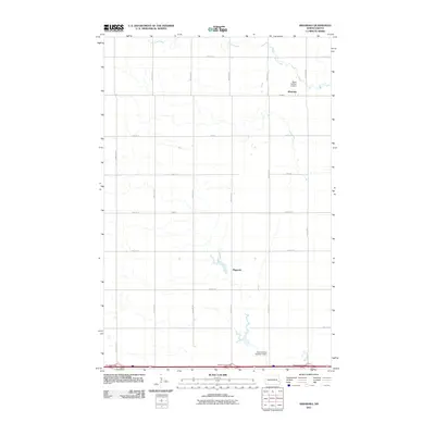
2011 Map of Absaraka
USGS Topo · Published 2011About this map
Absaraka and Magnolia anchor this 2011 survey of the North Dakota prairie, where the landscape is meticulously organized by a rigid grid of section roads like 29th St SE and 145th Ave SE. The agrarian character of the region is defined by the management of local waterways, specifically Swan Creek, which is regulated by structures such as Swan Buffalo 12 Dam and Swan Buffalo Number 5 Dam. This map captures a moment of modern connectivity at the southern edge of the quadrangle, where high-speed travel meets the section-line roads at the Absaraka Interchange, Ayr Interchange, and Embden Interchange. The township layout reveals the enduring legacy of the Public Land Survey System, with small settlement clusters like Magnolia remaining as quiet landmarks in a vast agricultural expanse.
Find a feature on this map
22 named features on this map. Tap any name to fly to it.
Don’t see what you’re looking for? This feature index may not catch every label — zoom into the map to look around manually.
Map Details
Editions of this 2011 Absaraka Map
This is the sole edition of this map. No revisions or reprints were ever made.
Other maps of this area

1895 · Casselton
USGS Topo · 1:125,000

1897 · Tower
USGS Topo · 1:125,000

1897 · Casselton
USGS Topo · 1:125,000

1952 · Grand Forks
USGS Topo · 1:250,000

1953 · Fargo
USGS Topo · 1:250,000

1956 · Fargo
USGS Topo · 1:250,000

1956 · Grand Forks
USGS Topo · 1:250,000

1965 · Alice
USGS Topo · 1:24,000

1966 · Grand Forks
USGS Topo · 1:250,000

1967 · Page SE
USGS Topo · 1:24,000