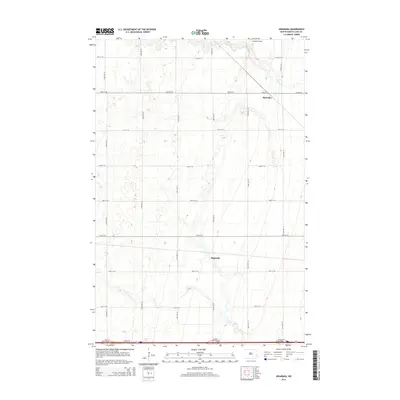
2014 Map of Absaraka
USGS Topo · Published 2014About this map
Absaraka serves as the primary focal point of this western Cass County landscape, situated where the grid of sectional roads meets the diagonal passage of the rail line. The terrain is defined by the gentle drainage of Swan Cr to the north and the agricultural settlements of Magnolia and Absaraka further south. The map illustrates a strictly organized rural infrastructure, dominated by a numeric grid of avenues and streets like 30th St SE and 144th Ave SE. Near the northern boundary, the Punton Private airfield provides a specialized local landmark. Along the southern edge, the modernization of transport is evident at the Ayr Interchange, Embden Interchange, and Absaraka Interchange, which connect this quiet farming region to the broader interstate corridor.
Find a feature on this map
23 named features on this map. Tap any name to fly to it.
Don’t see what you’re looking for? This feature index may not catch every label — zoom into the map to look around manually.
Map Details
Editions of this 2014 Absaraka Map
This is the sole edition of this map. No revisions or reprints were ever made.
Other maps of this area

1895 · Casselton
USGS Topo · 1:125,000

1897 · Tower
USGS Topo · 1:125,000

1897 · Casselton
USGS Topo · 1:125,000

1952 · Grand Forks
USGS Topo · 1:250,000

1953 · Fargo
USGS Topo · 1:250,000

1956 · Fargo
USGS Topo · 1:250,000

1956 · Grand Forks
USGS Topo · 1:250,000

1965 · Alice
USGS Topo · 1:24,000

1966 · Grand Forks
USGS Topo · 1:250,000

1967 · Page SE
USGS Topo · 1:24,000