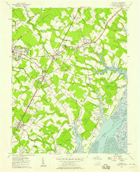
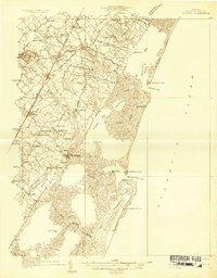
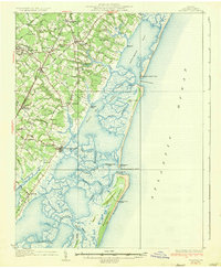
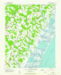
1957 Map of Accomac
USGS Topo · Published 1958About this map
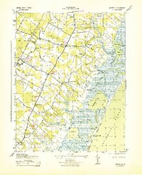
The Pennsylvania Railroad corridor serves as the central spine of this coastal landscape, connecting a string of Eastern Shore settlements including Tasley, Onley, and Melfa. This mid-century survey illustrates the rural character of Accomack County, where agricultural lands are partitioned by intricate tidal drainage systems like Finney Creek and Custis Creek. The map provides significant genealogical value through its identification of numerous small family and community landmarks, such as Edge Hill Cem and Walker Sch. Toward the Atlantic coast, the terrain transitions into complex marshlands and peninsulas, including Baylys Neck and Joynes Neck, which overlook Burtons Bay. The infrastructure of the era is marked by the presence of a Drive-in Theater, a Lookout Tower, and the State Police Radio Tower, reflecting the technological and social footprint of the late 1950s.
Find a feature on this map
69 named features on this map. Tap any name to fly to it.
Don’t see what you’re looking for? This feature index may not catch every label — zoom into the map to look around manually.
Map Details
Editions of this 1957 Accomac Map
This is the sole edition of this map. No revisions or reprints were ever made.
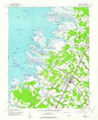
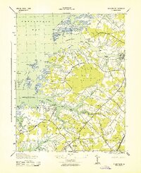
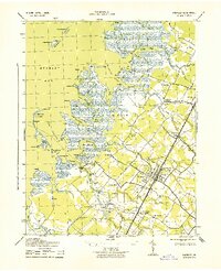
Other maps of this area

1903 · Crisfield
USGS Topo · 1:62,500

1920 · Crisfield
USGS Topo · 1:62,500
1931 · Accomac
USGS Topo · 1:48,000
1935 · Accomac
USGS Topo · 1:62,500
1942 · Chesconessex
USGS Topo · 1:31,680
1942 · Mappsville
USGS Topo · 1:24,000
1942 · Parksley
USGS Topo · 1:24,000
1943 · Pungoteague
USGS Topo · 1:31,680
1943 · Parksley
USGS Topo · 1:31,680
1943 · Mappsville
USGS Topo · 1:31,680