1978 Map of Accomac
USGS Topo · Published 1983About this map
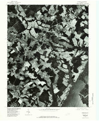
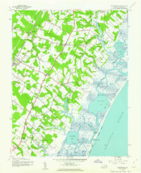
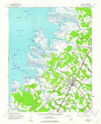
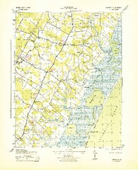
Agricultural fields and dense woodlands define the Eastern Shore landscape surrounding Accomac in the late 1970s. This orthophotoquad, produced by the Geological Survey in cooperation with the Soil Conservation Service, uses aerial photography to reveal the intricate parceling of land between the Chesapeake drainage and the Atlantic side. The map captures the clustered settlements of Onancock and Onley, showing the residential footprints and road networks that connect these historic communities. Moving toward the coast, the land breaks into the tidal marshes of Burtons Bay and the winding channels of Folly Creek and Finney Creek. This photographic perspective provides researchers a literal view of land use, from the cleared farms near Daugherty and Tasley to the saltwater estuaries that have shaped the economy of Accomack County for generations.
Find a feature on this map
12 named features on this map. Tap any name to fly to it.
Don’t see what you’re looking for? This feature index may not catch every label — zoom into the map to look around manually.
Map Details
Editions of this 1978 Accomac Map
This is the sole edition of this map. No revisions or reprints were ever made.
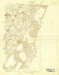
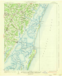
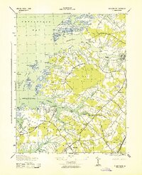
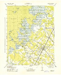
Other maps of this area

1903 · Crisfield
USGS Topo · 1:62,500

1920 · Crisfield
USGS Topo · 1:62,500
1931 · Accomac
USGS Topo · 1:48,000
1935 · Accomac
USGS Topo · 1:62,500
1942 · Chesconessex
USGS Topo · 1:31,680
1942 · Mappsville
USGS Topo · 1:24,000
1942 · Parksley
USGS Topo · 1:24,000
1943 · Pungoteague
USGS Topo · 1:31,680
1943 · Parksley
USGS Topo · 1:31,680
1943 · Mappsville
USGS Topo · 1:31,680